


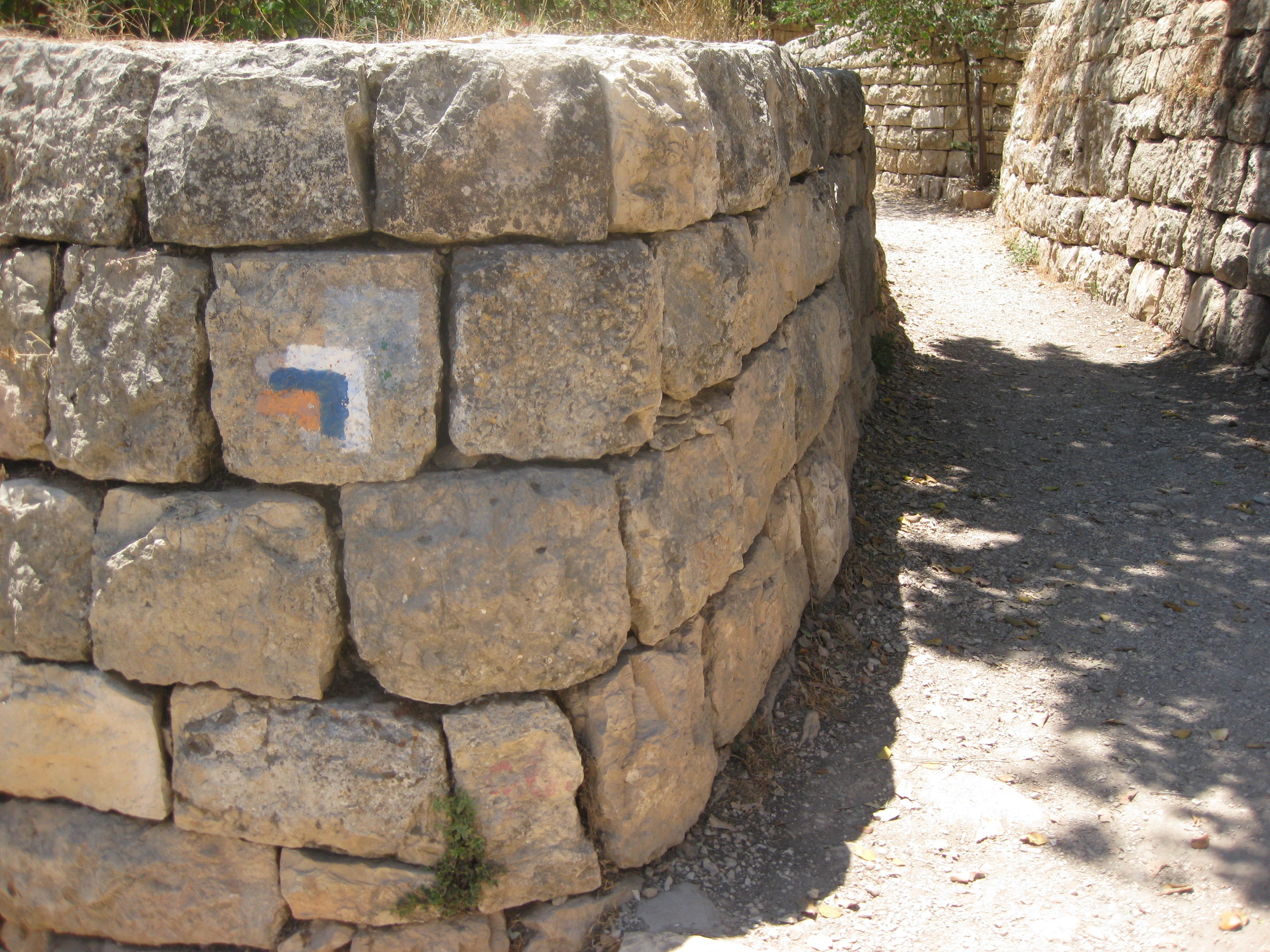


For updates on trail conditions and for answers to your questions about the INT and hiking in Israel, the Israel National Trail forum is the best resource we can recommend.

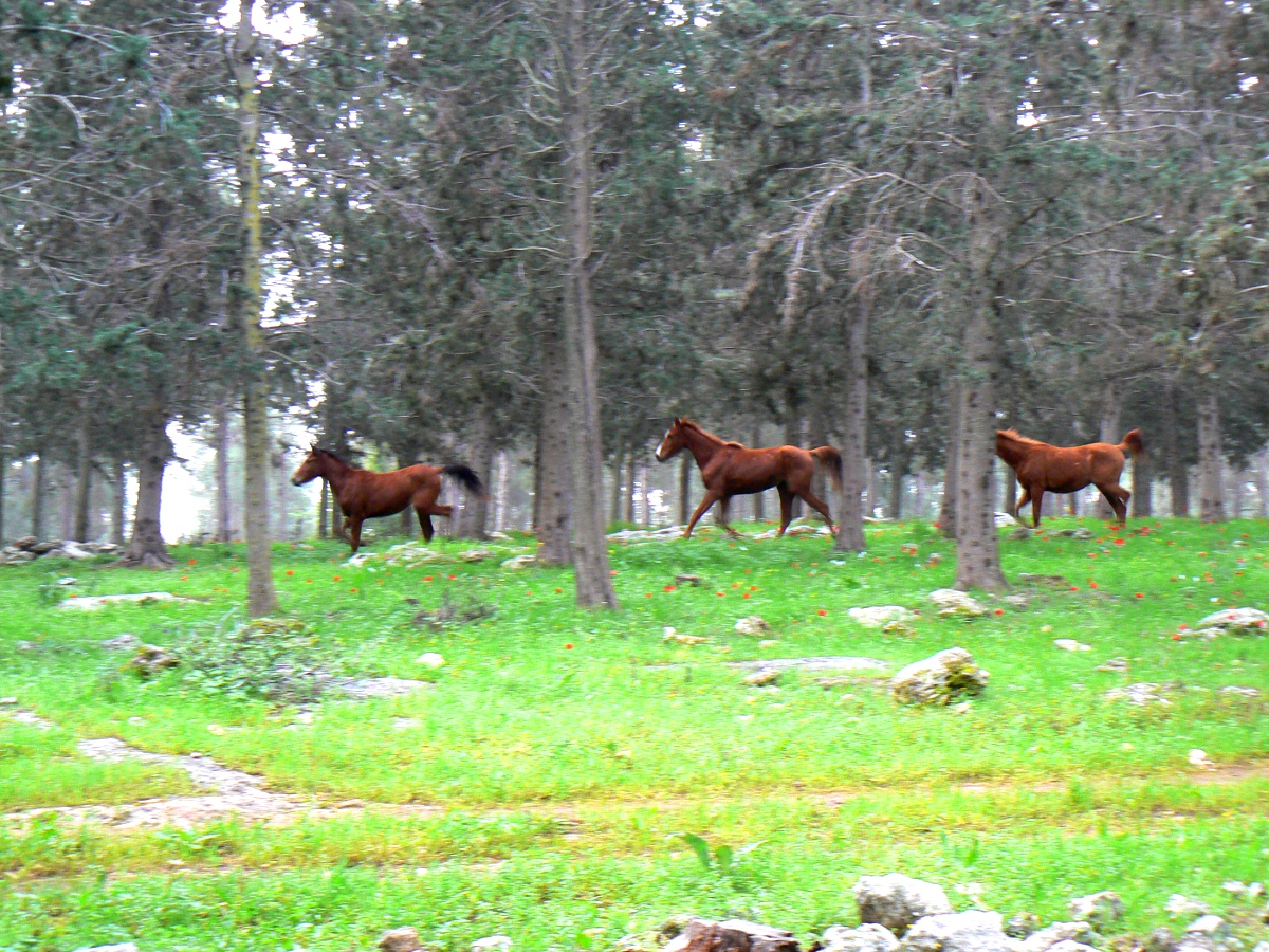
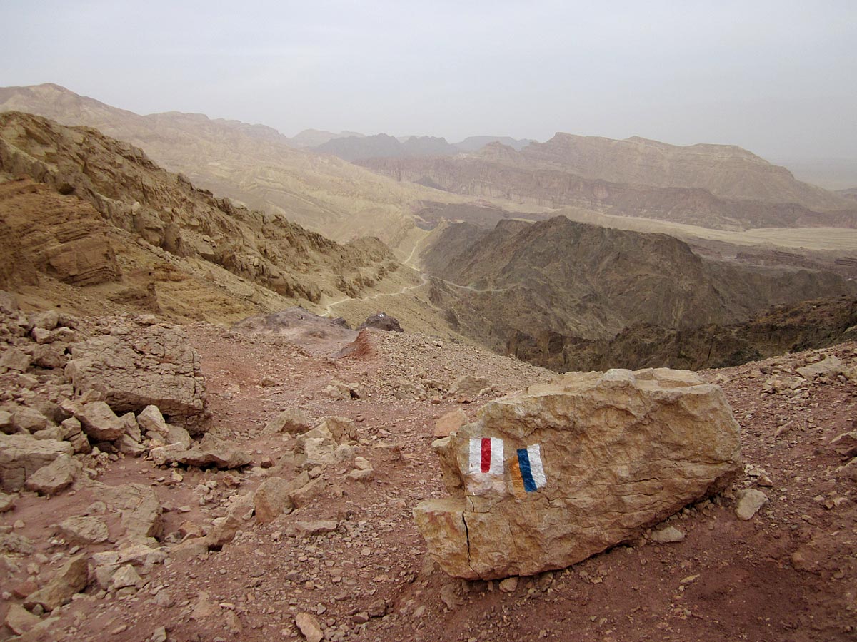
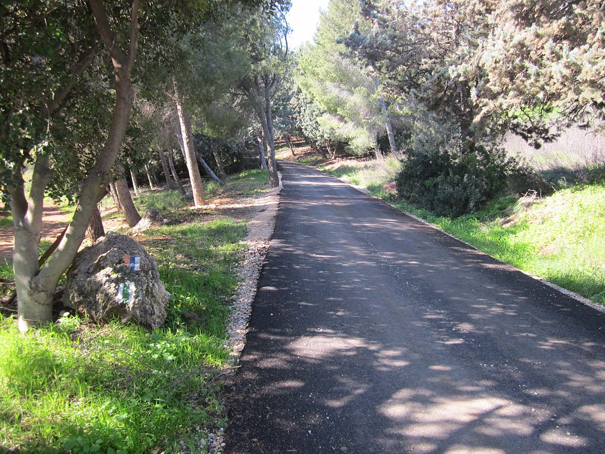
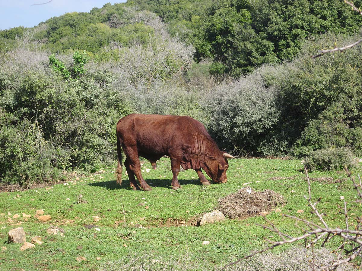
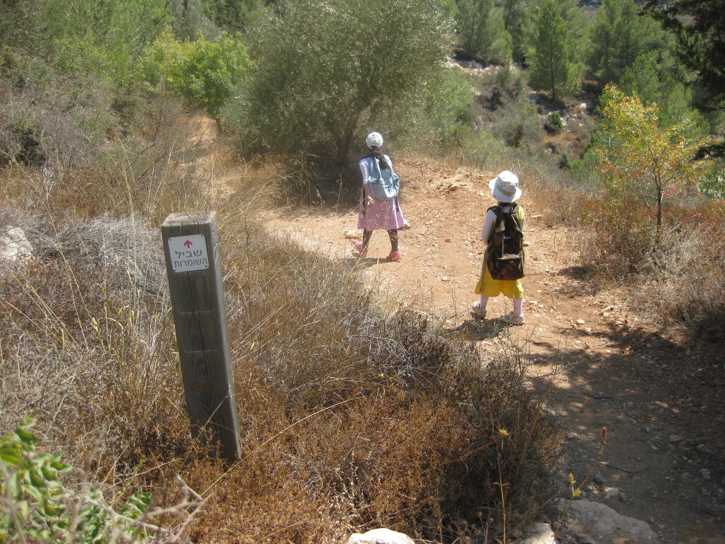
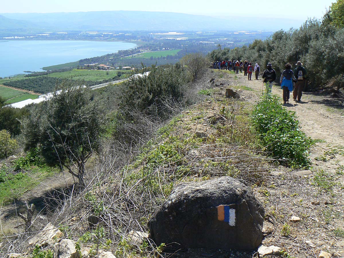
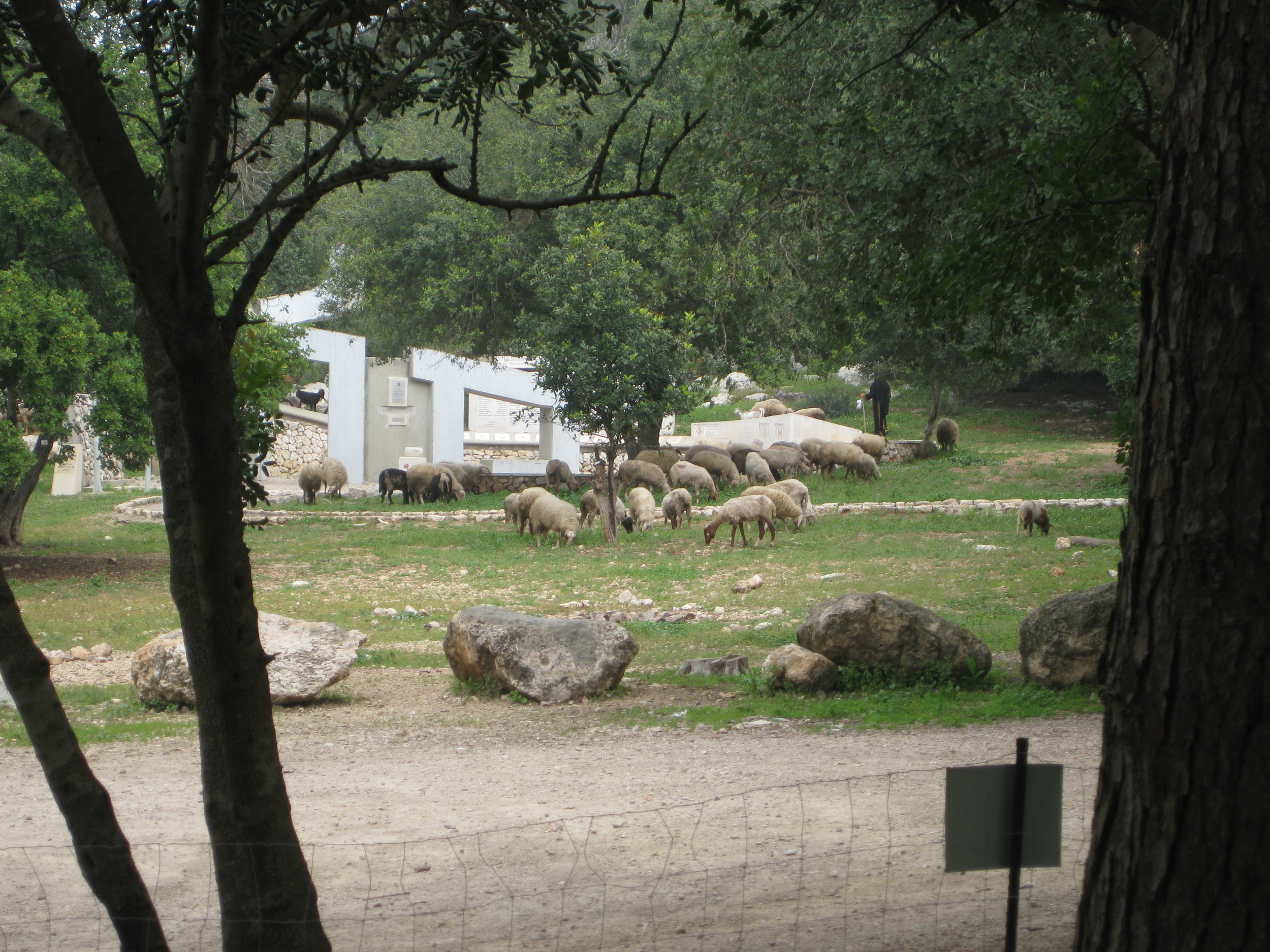
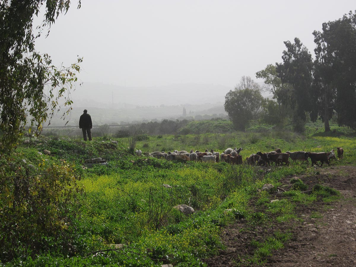
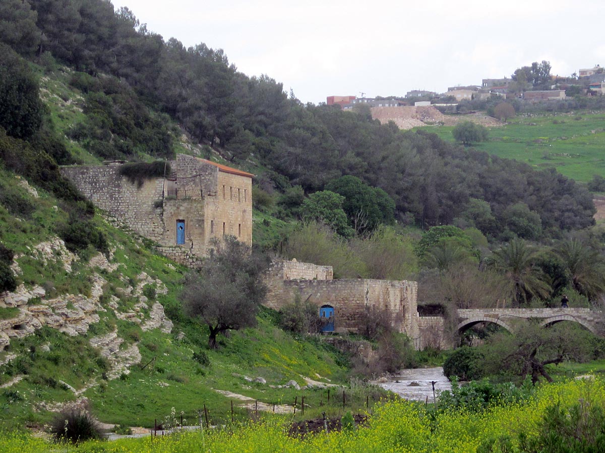
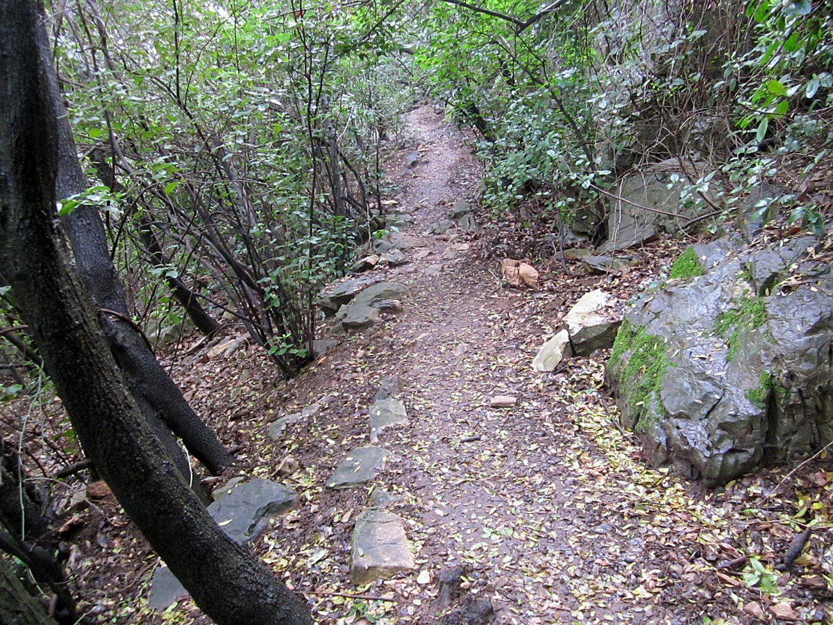
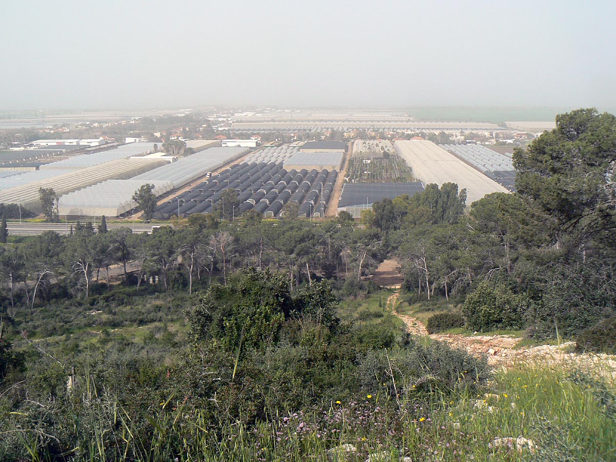
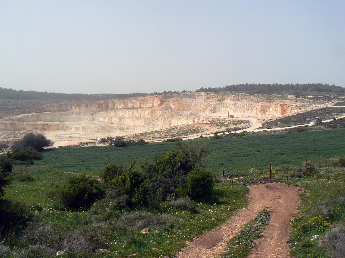
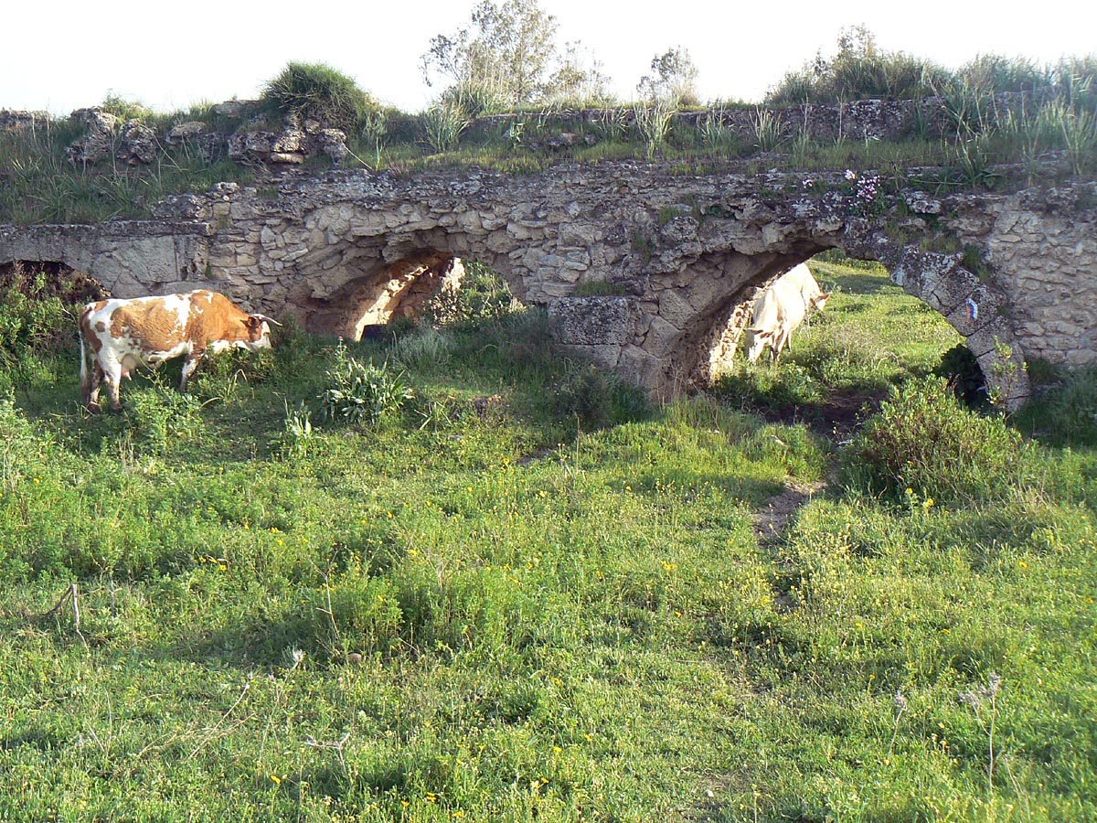
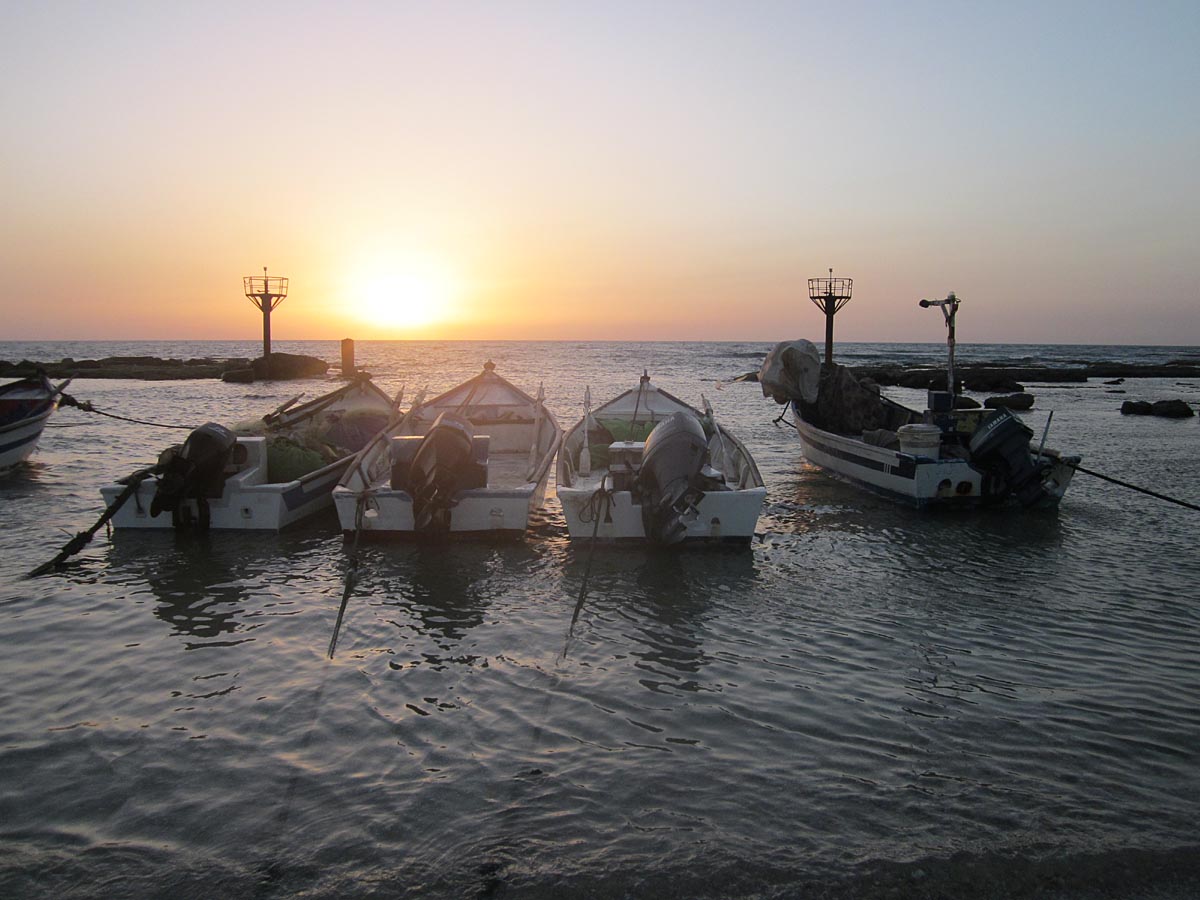
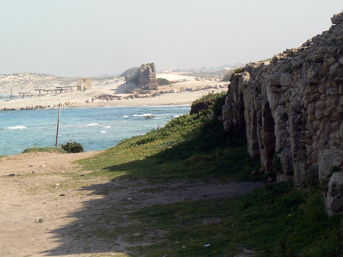
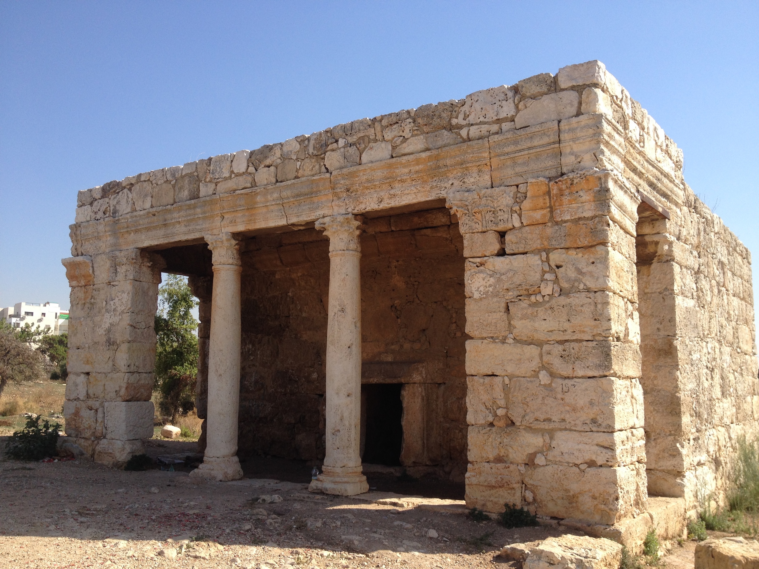
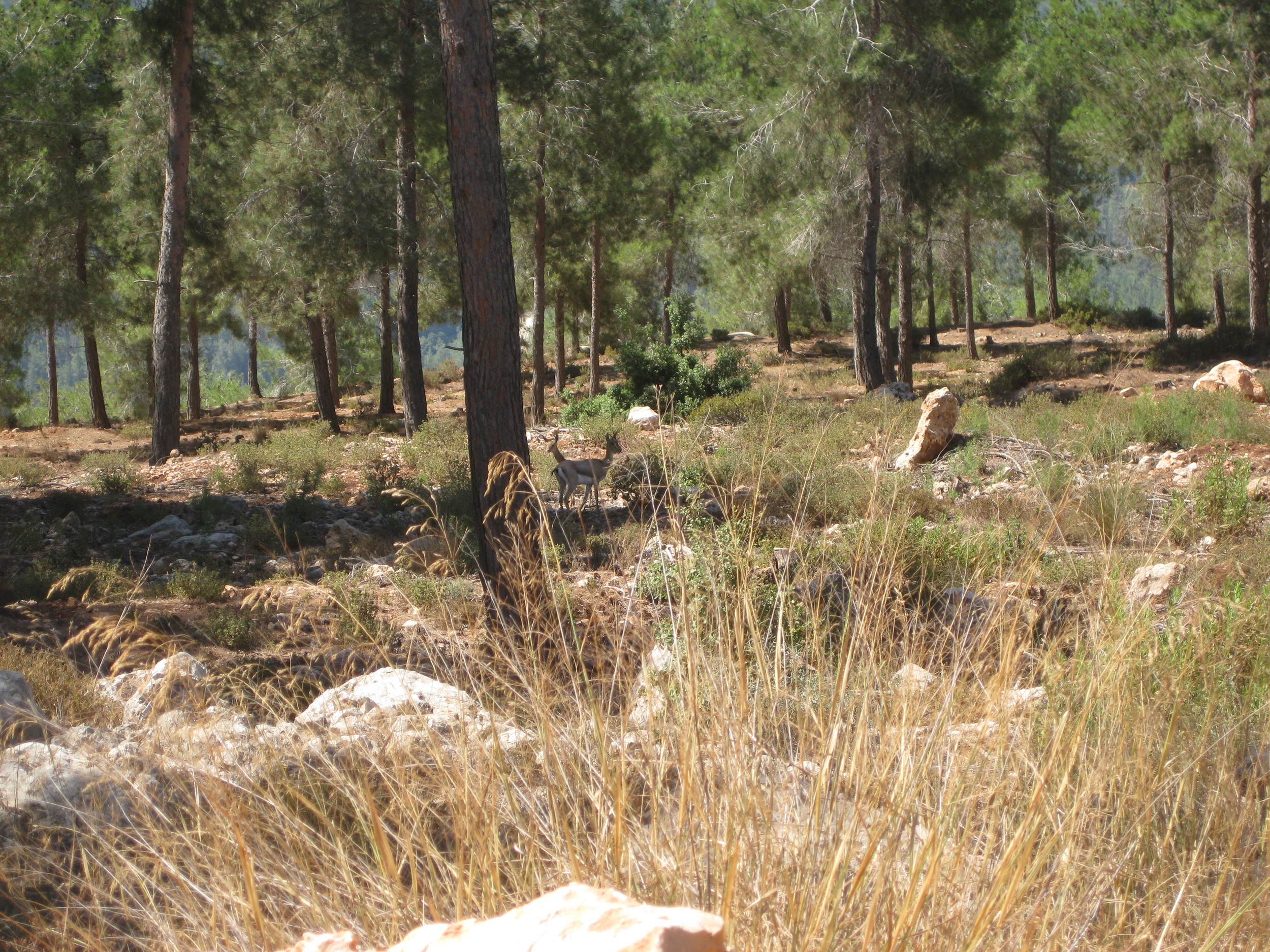
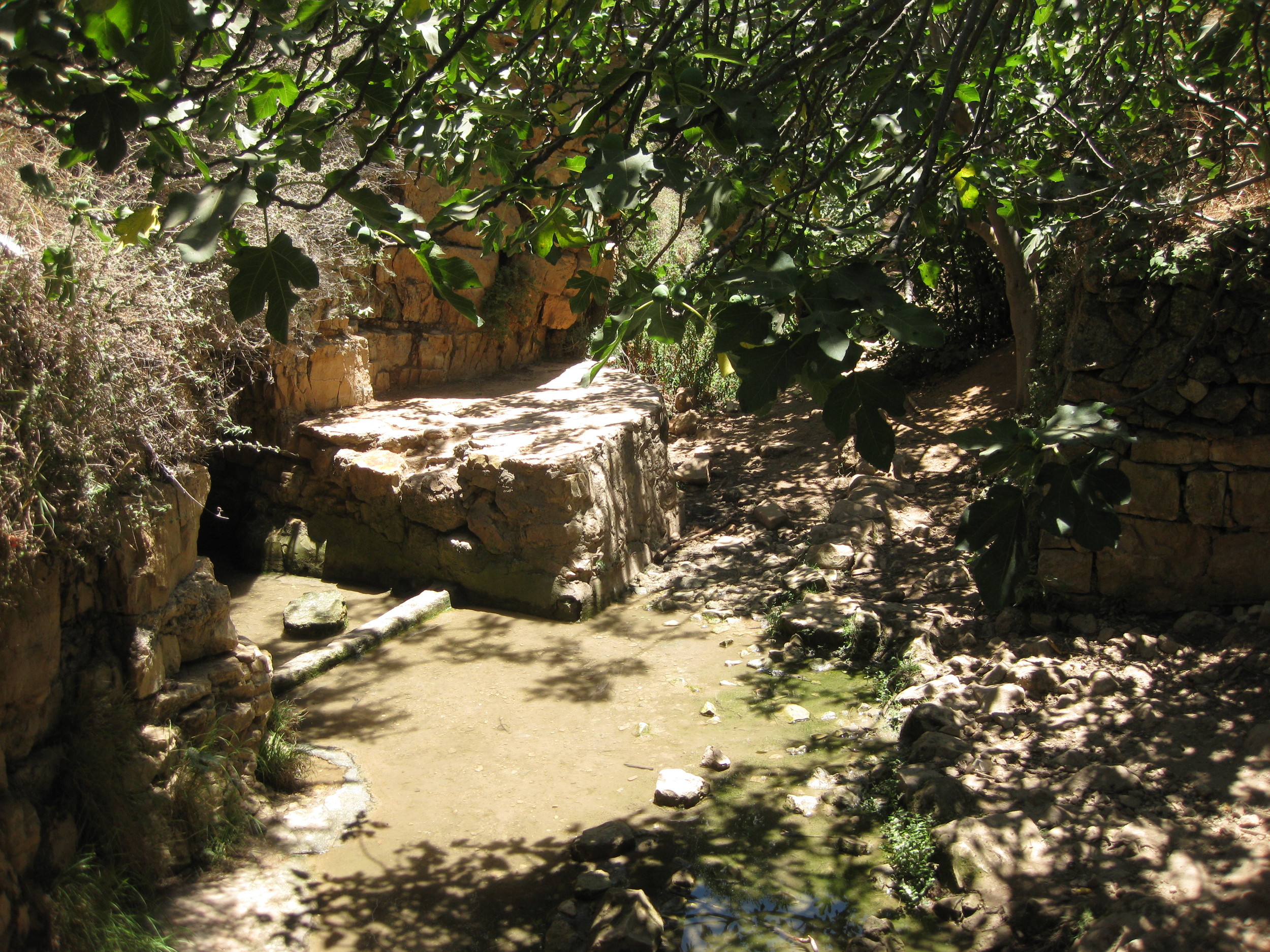
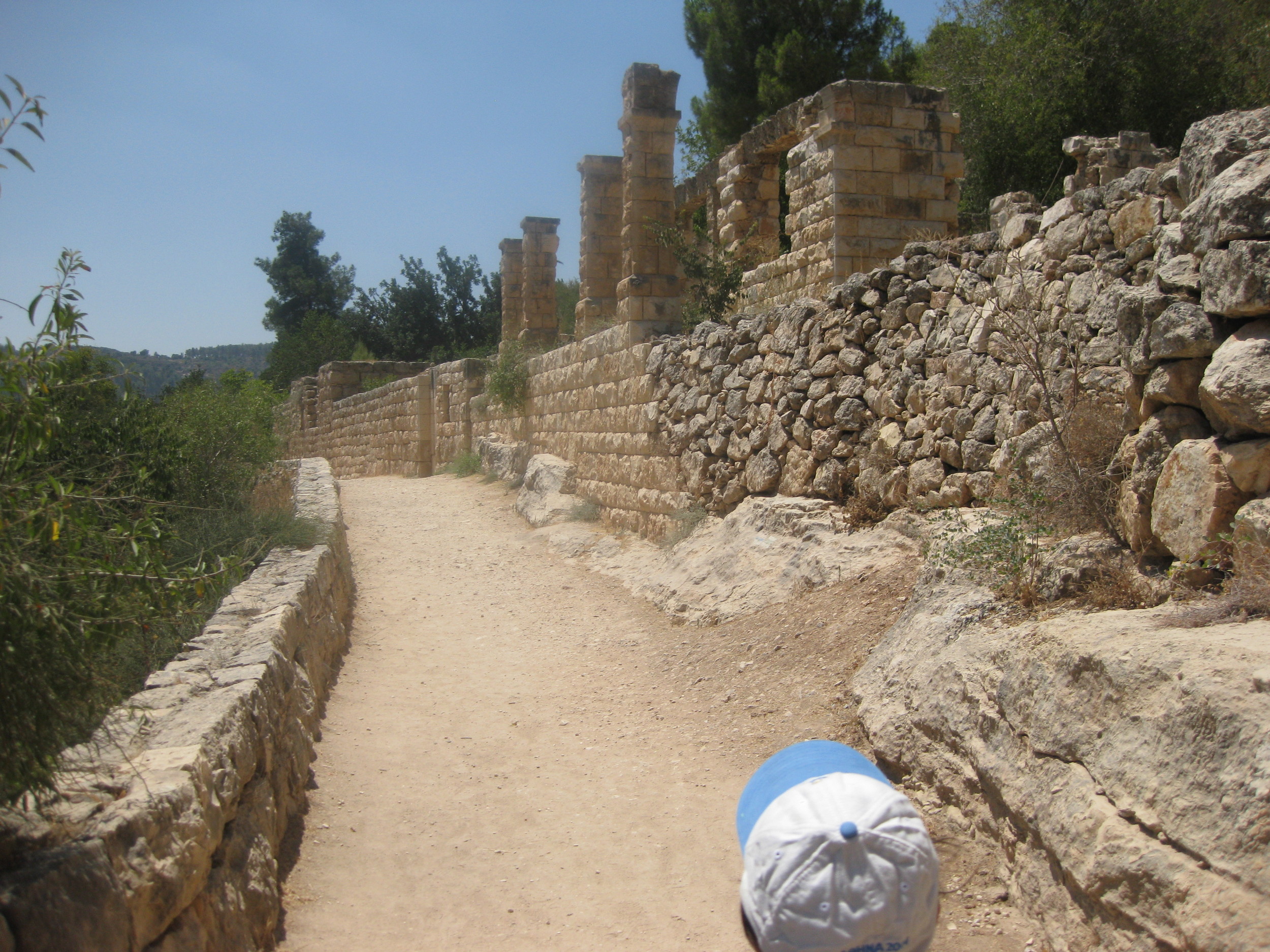
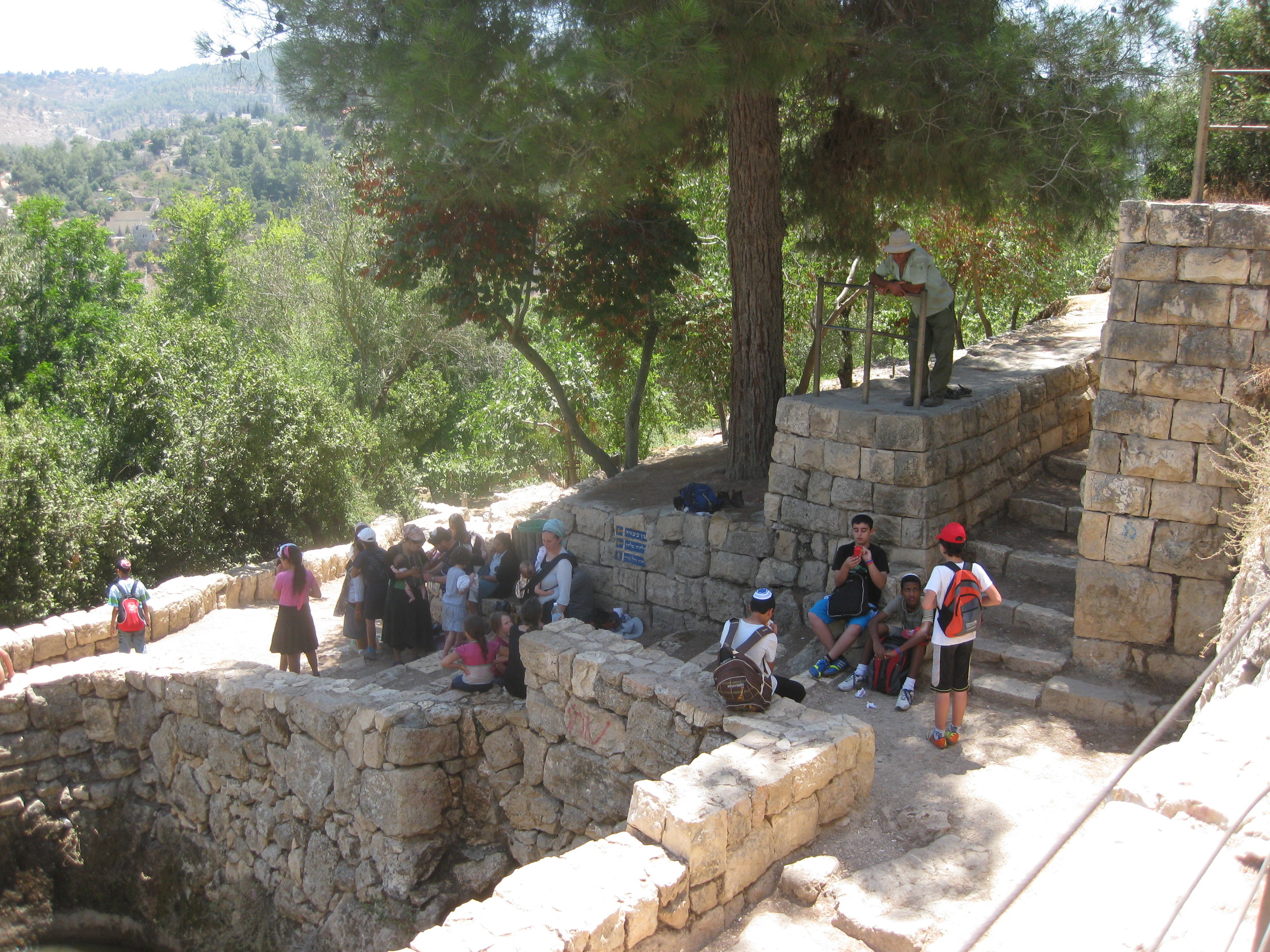
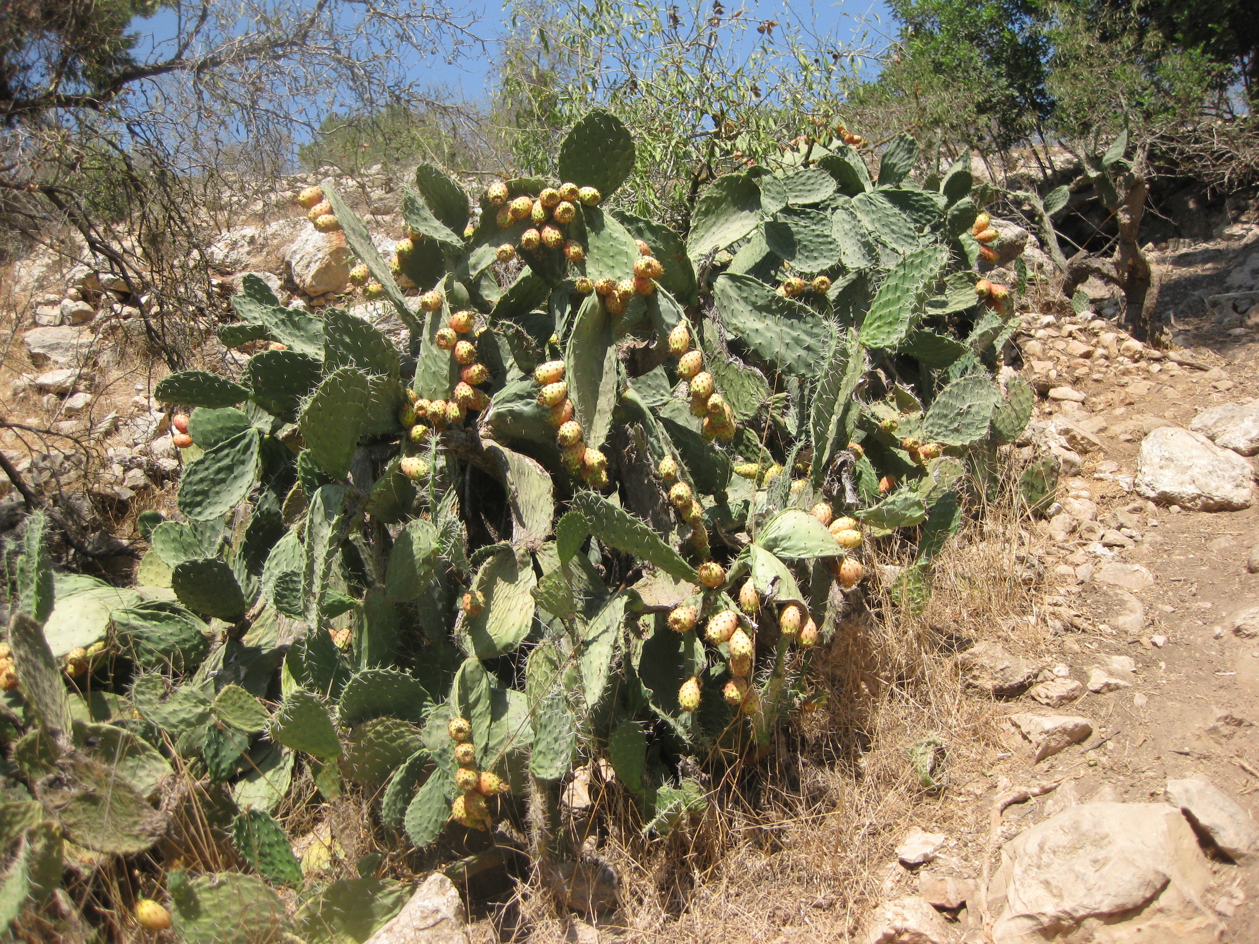
The Israel National Trail, (Hebrew: שביל ישראל, Shvil Yisrael) is a hiking trail that crosses Israel between the southern and northern borders, traversing a wide range of landscapes, a rich variety of flora and fauna, and a diversity of cultures.
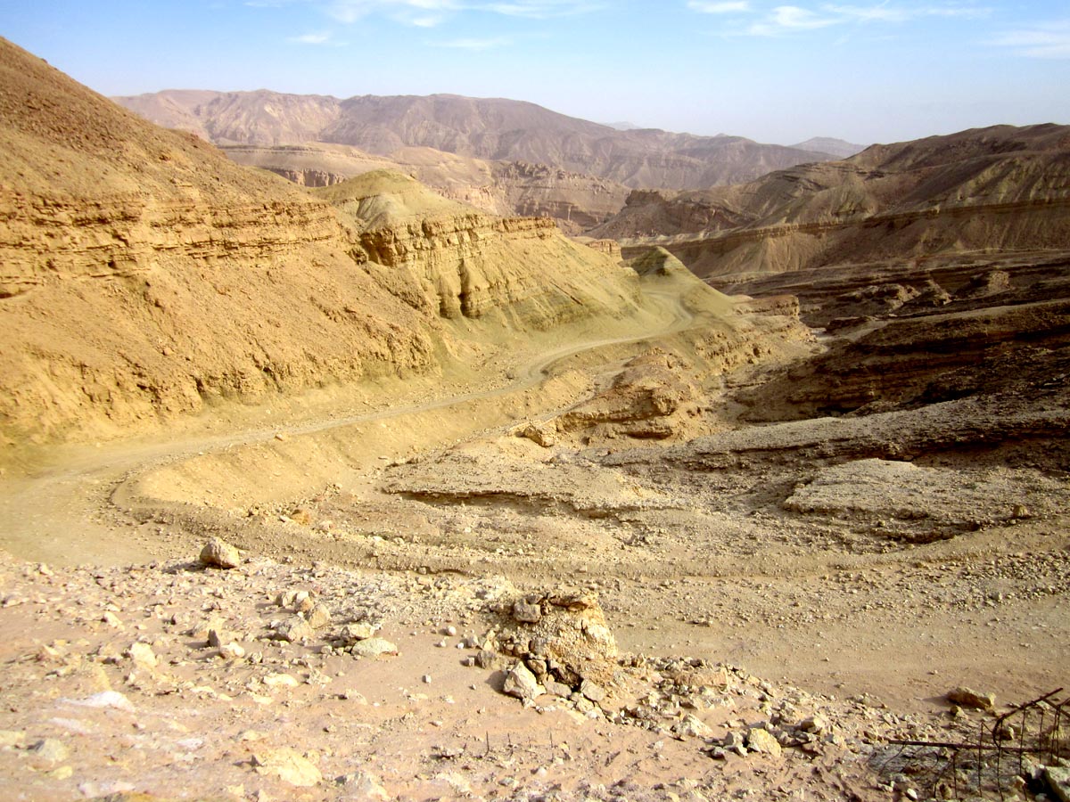
The trail stretches from Kibbutz Dan, near the Israel-Lebanon border, to Eilat on the Gulf of Aqaba. It was named by National Geographic as one of the 20 best "epic hiking trails" in the world. The INT is approximately 1100 km (683 miles) long. The exact length changes periodically as the Israel Trails Committee makes minor changes to the routing in various locations.
The purpose of this website is to create a reference for English speakers who wish to hike the Israel National Trail, but who speak little or no Hebrew. It is developed in support of the people of Israel who help maintain the Shvil Yisrael as a resource for their nation and for visitors, and for the Israel Trails Committee and their work in building and maintaining the trail.
Avraham Tamir hiked the Appalachian Trail and was inspired to create a national trail in Israel. We hope this website helps continue his vision by making the trail better known among English-speaking hikers around the world.

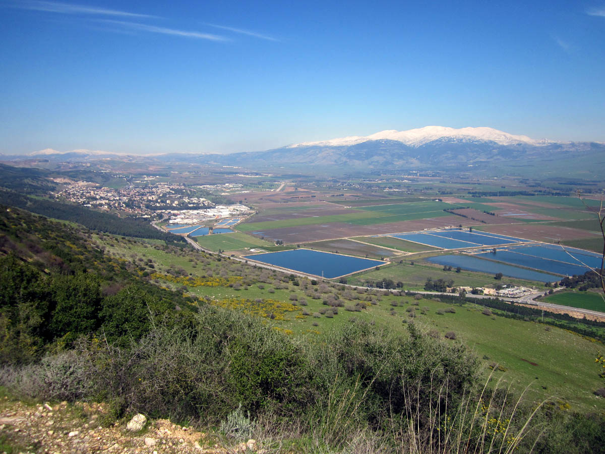
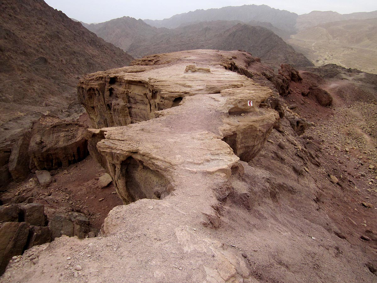
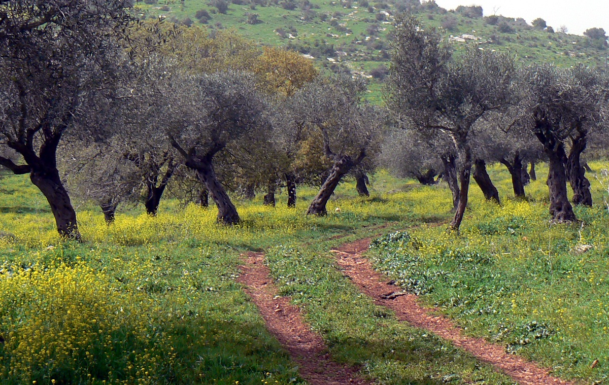
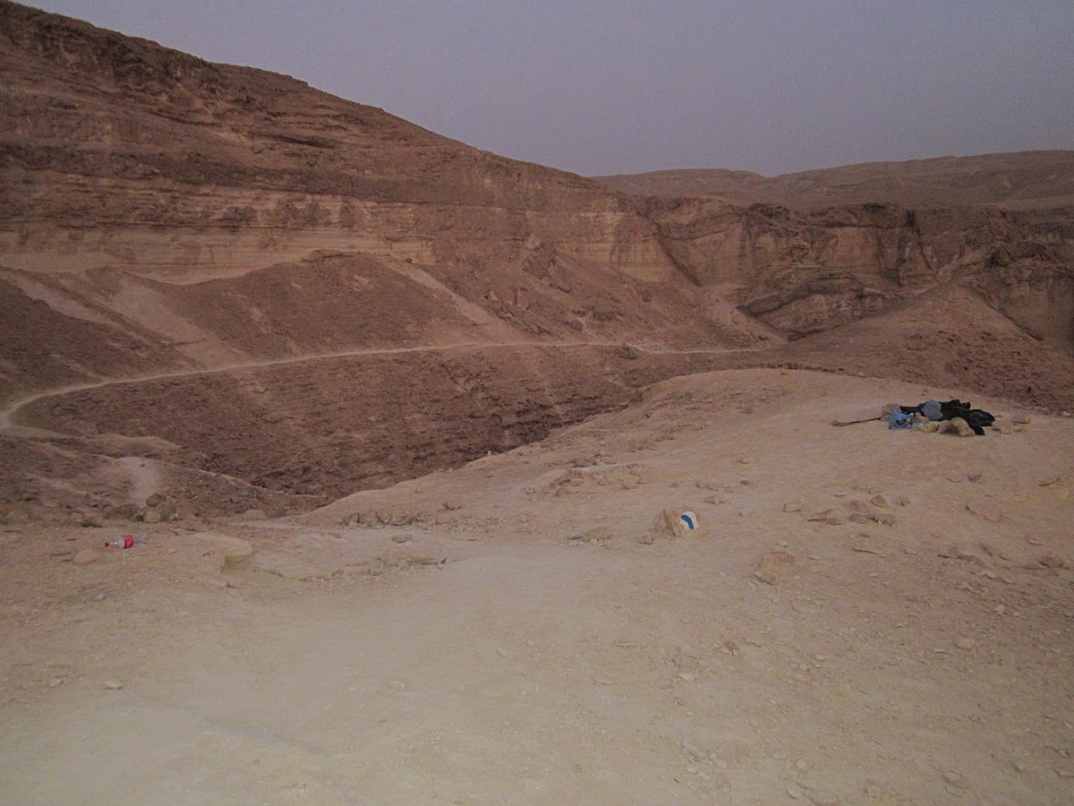
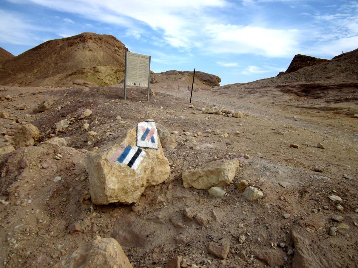
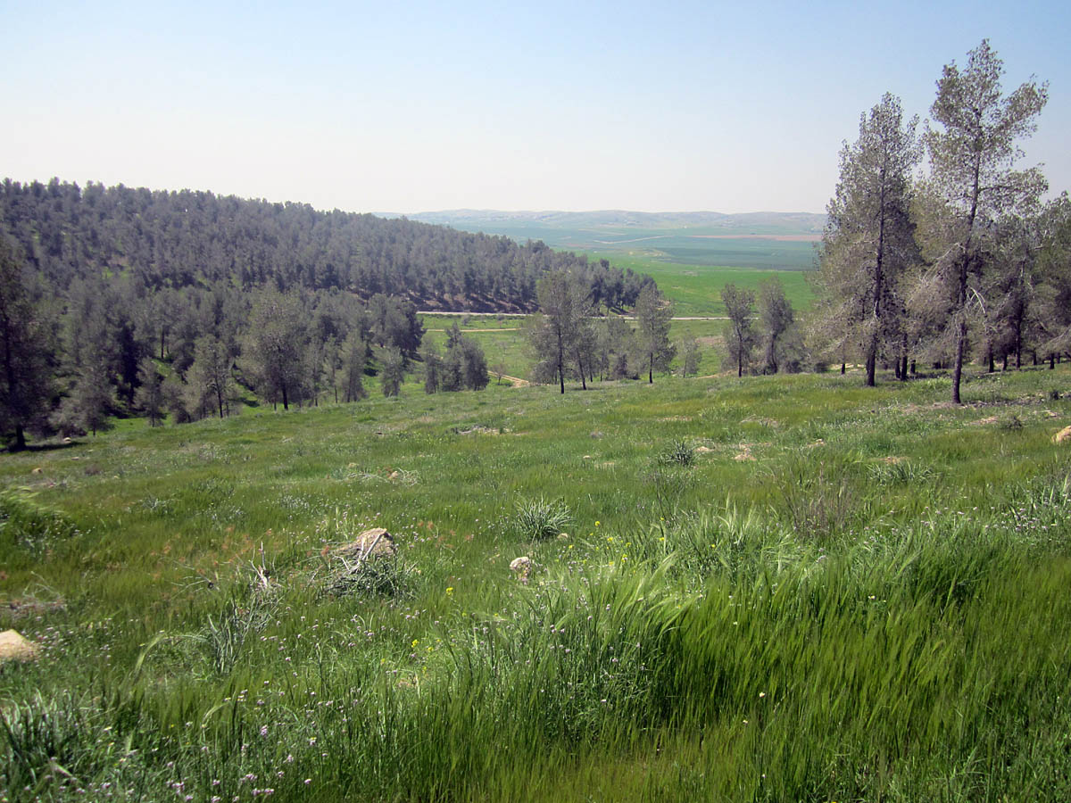
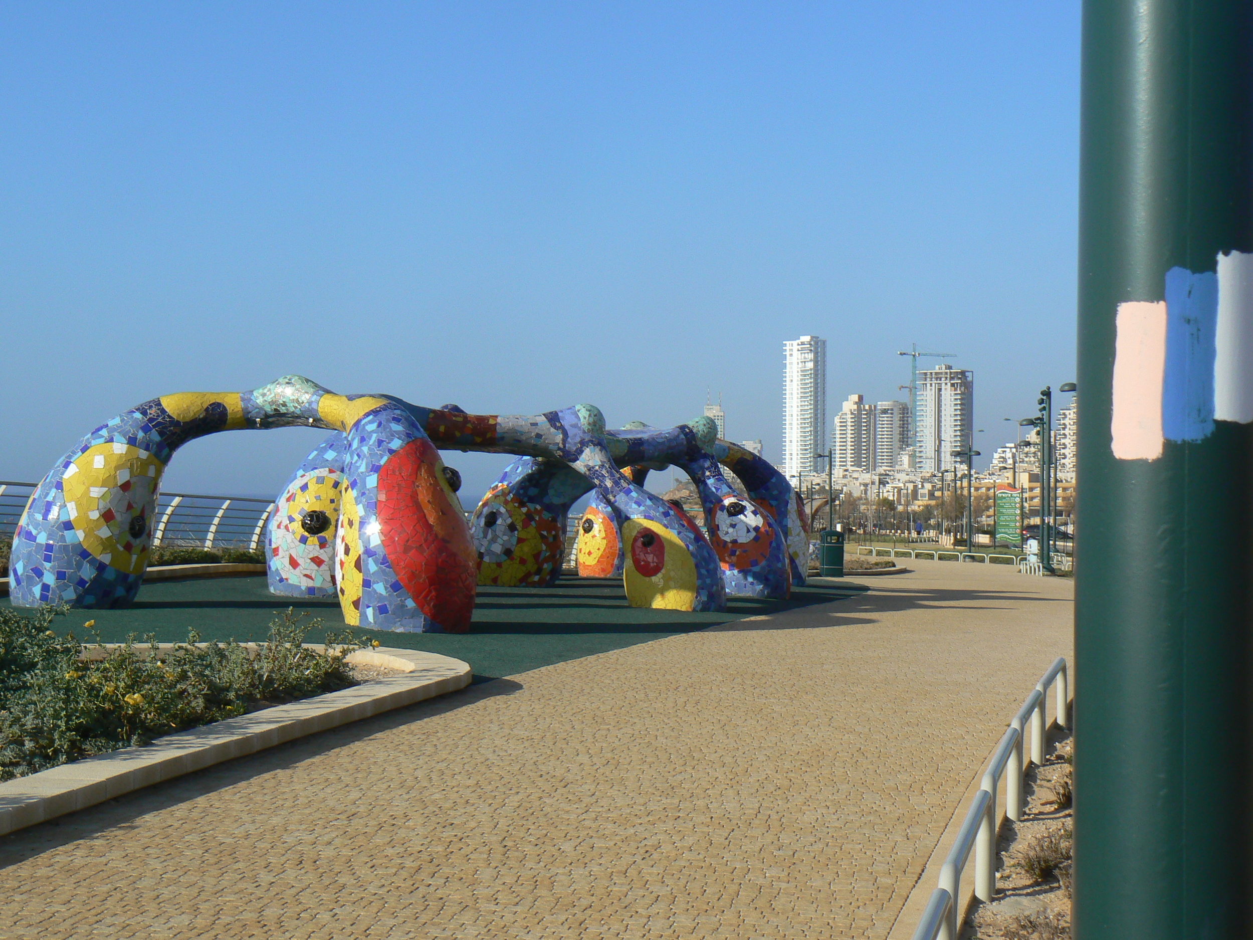
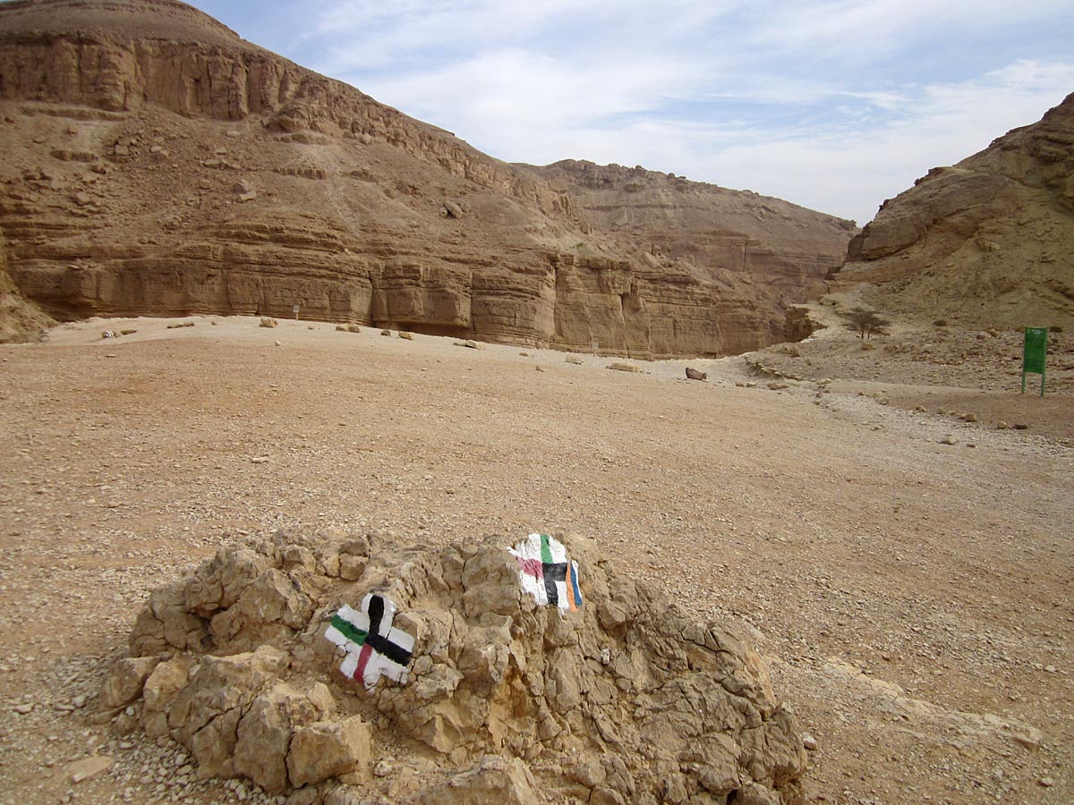
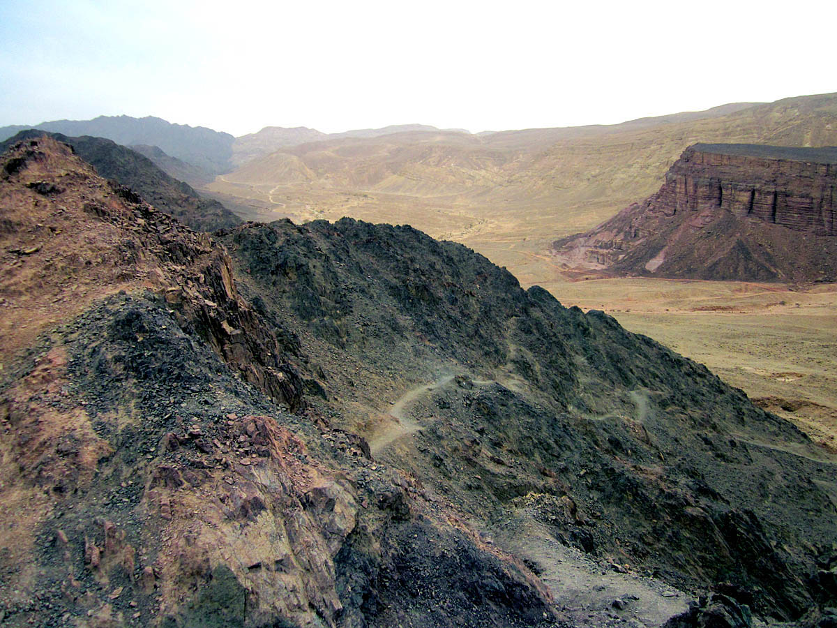
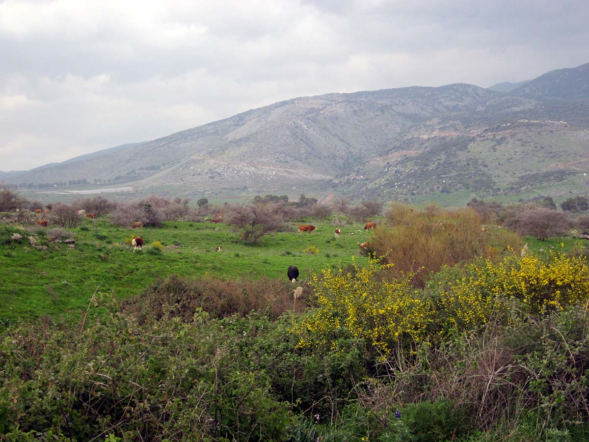
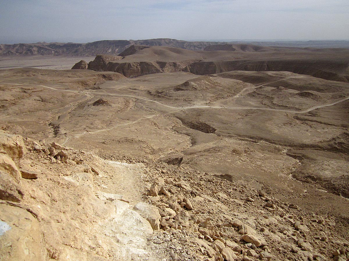
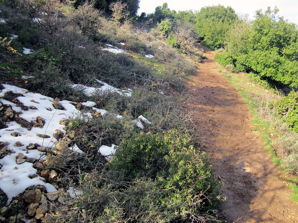
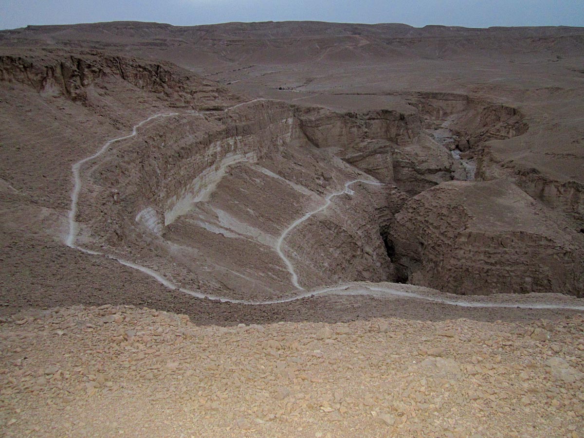
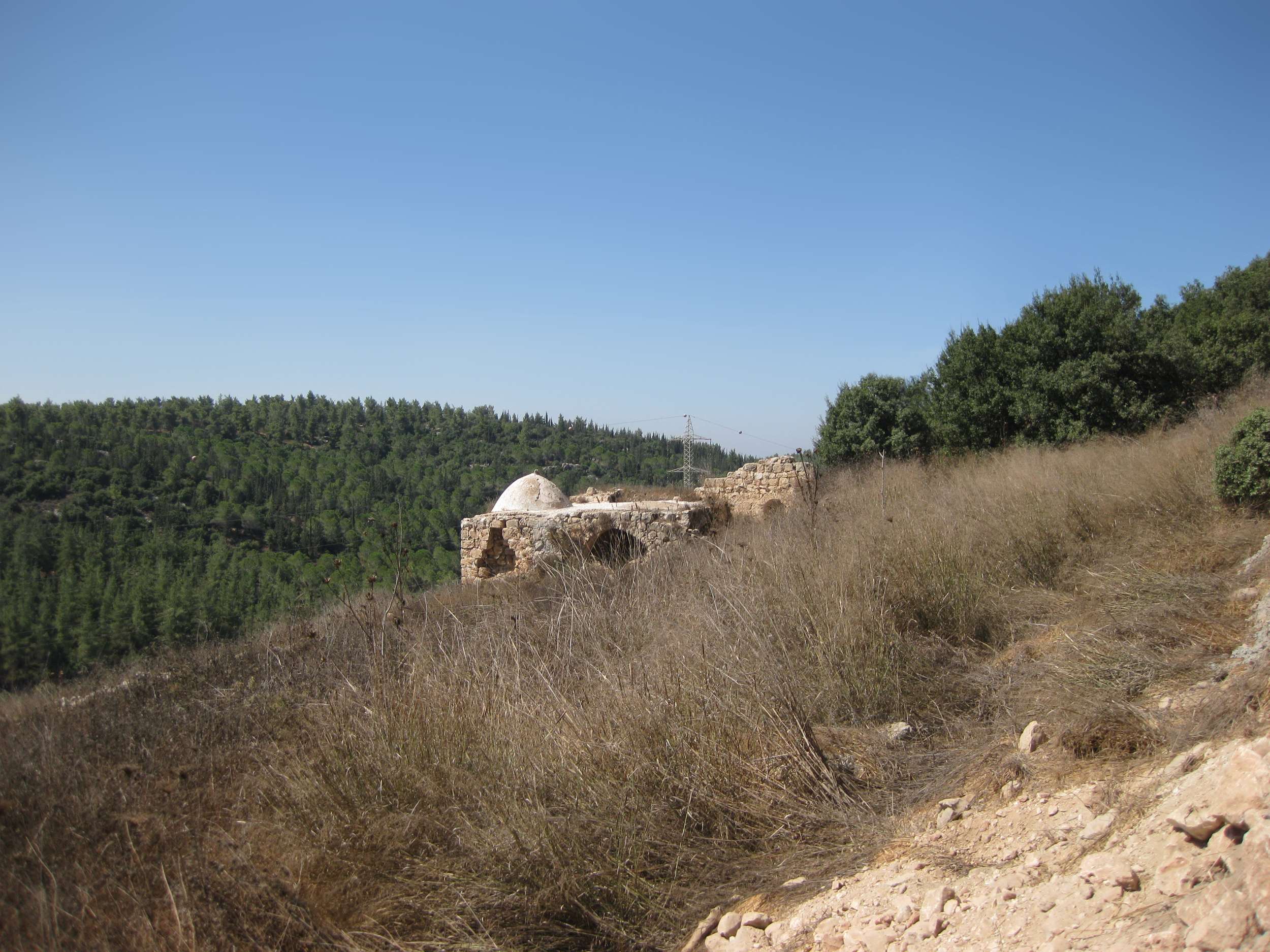
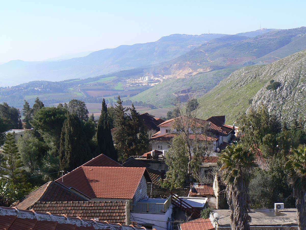
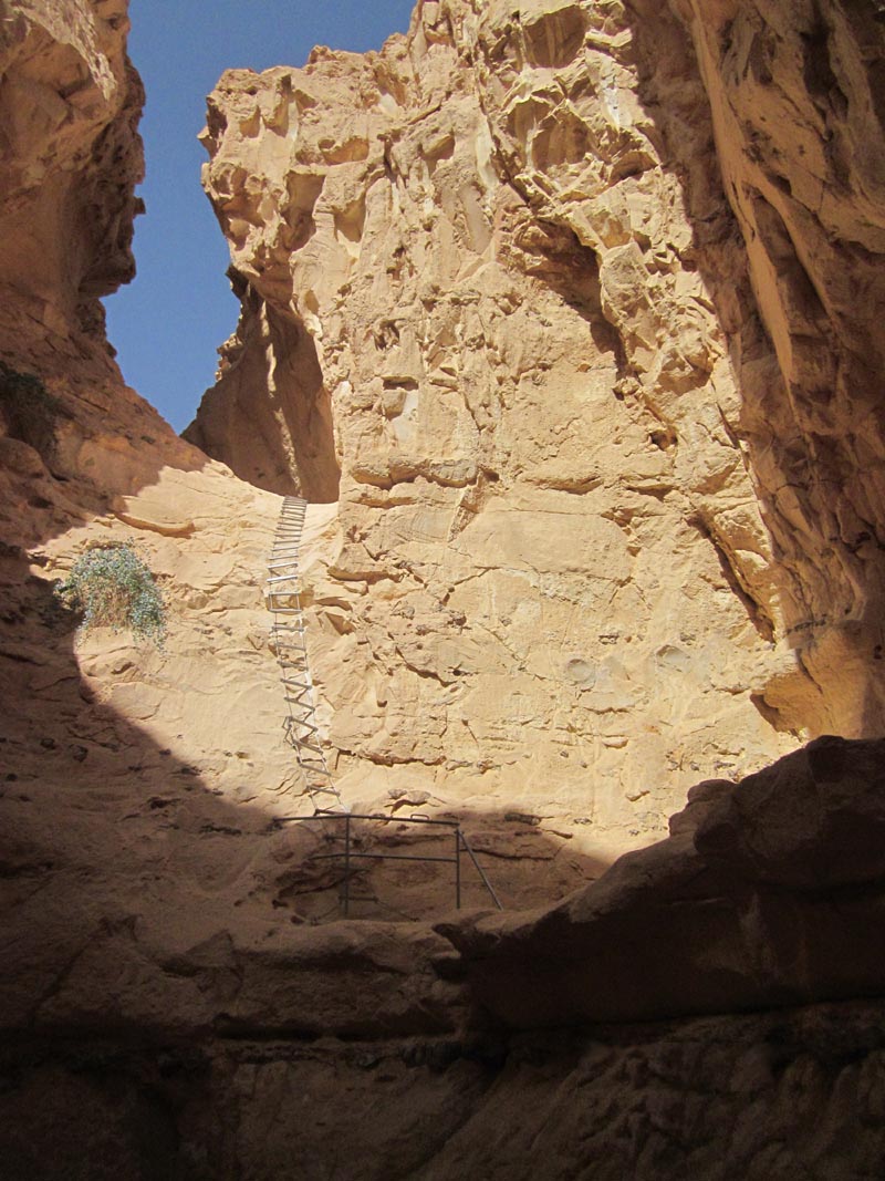
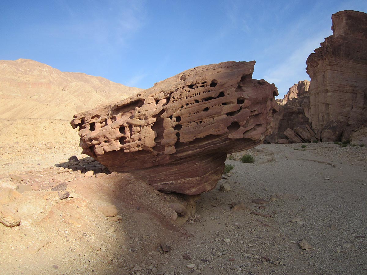
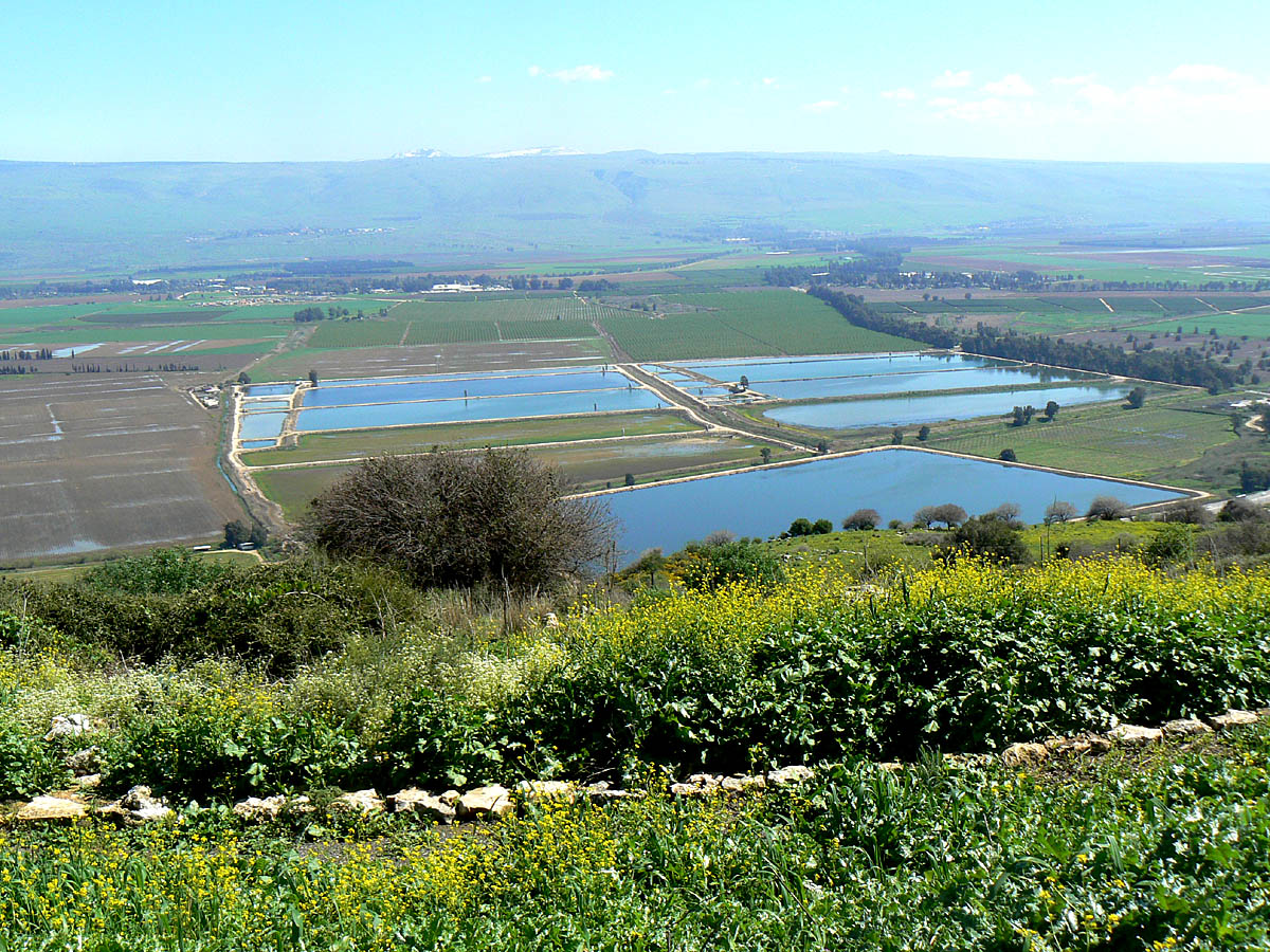
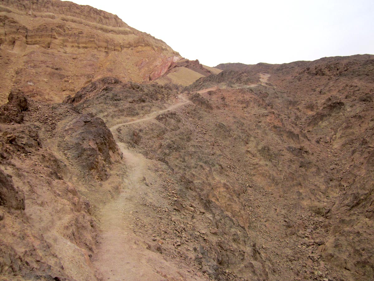
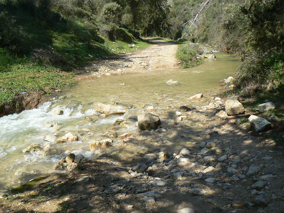
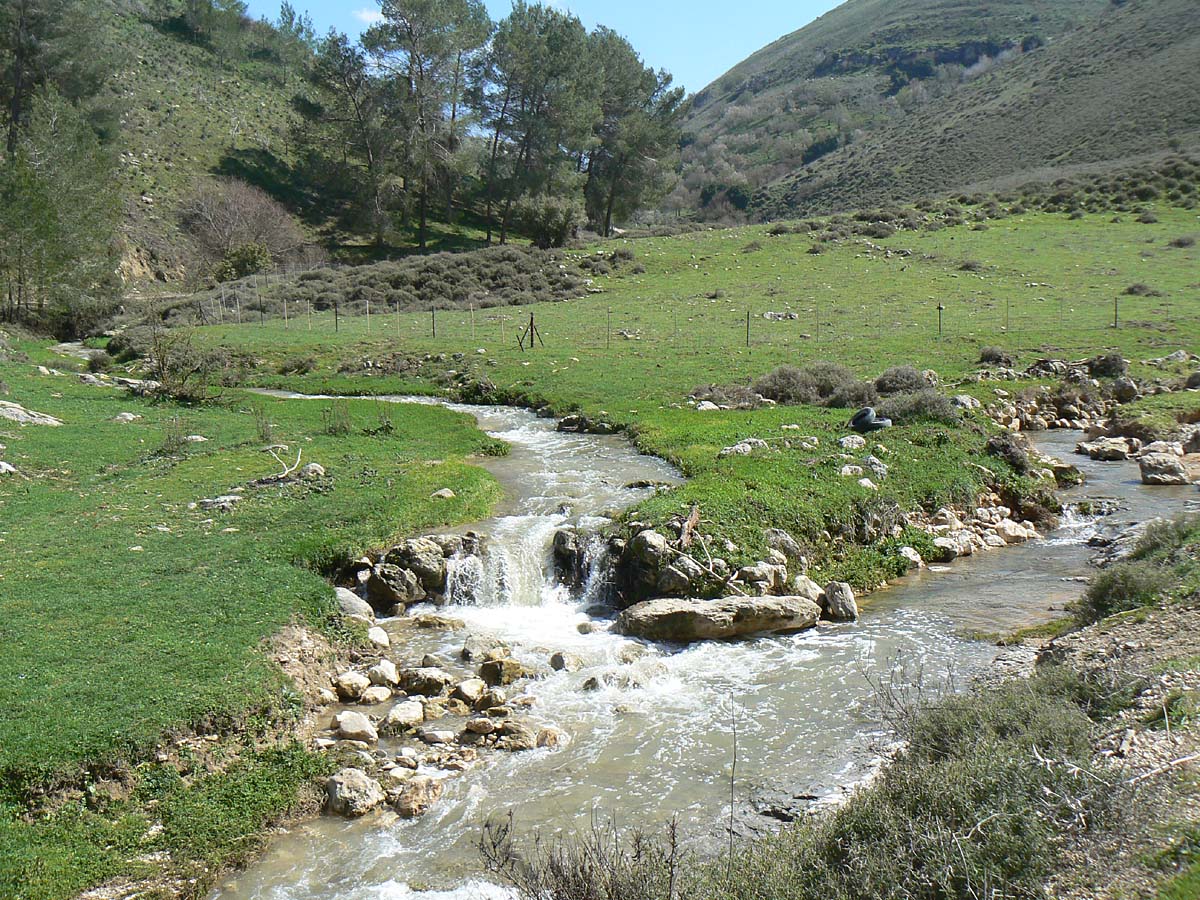
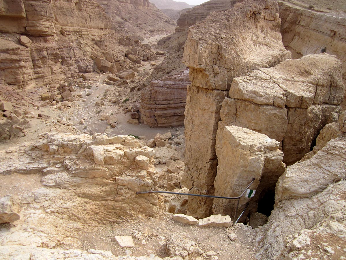
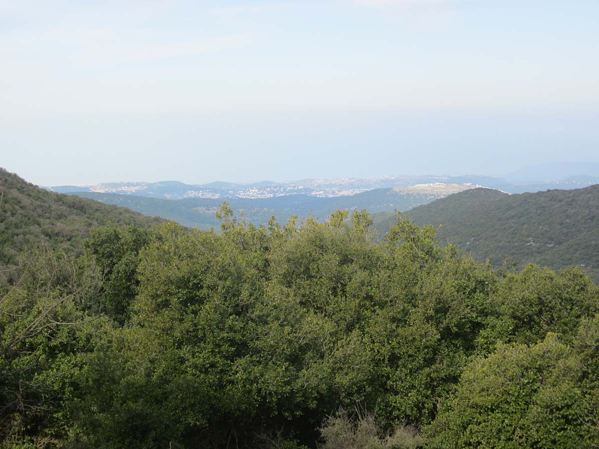
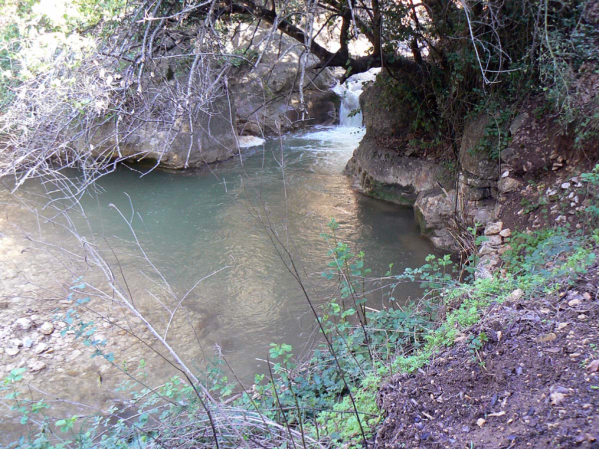
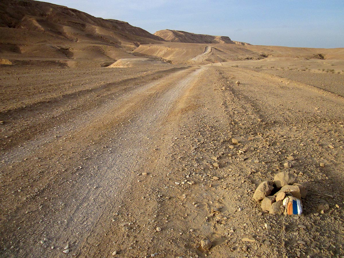
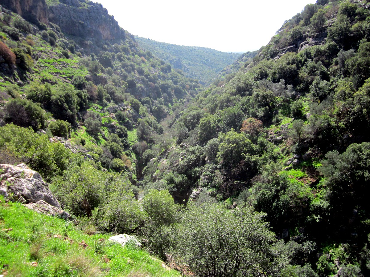
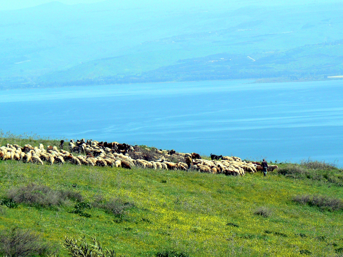
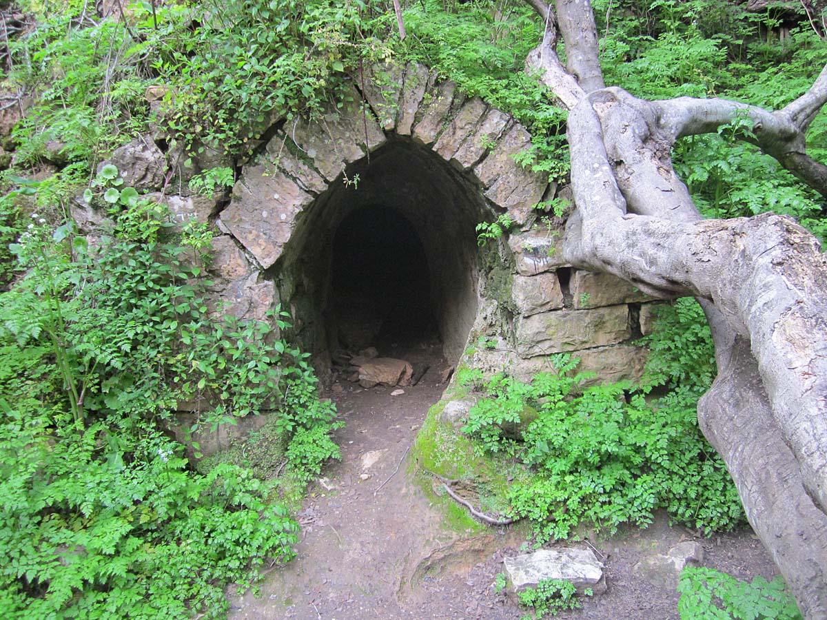
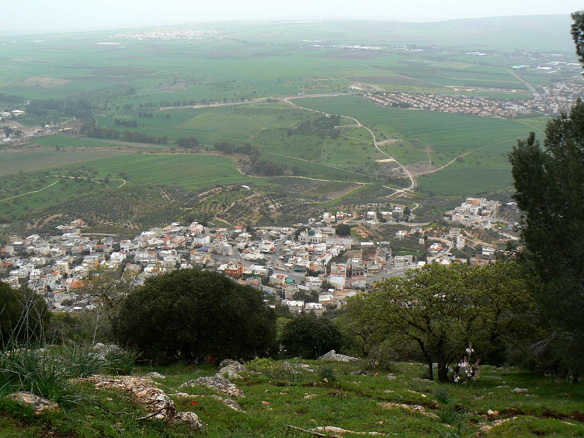
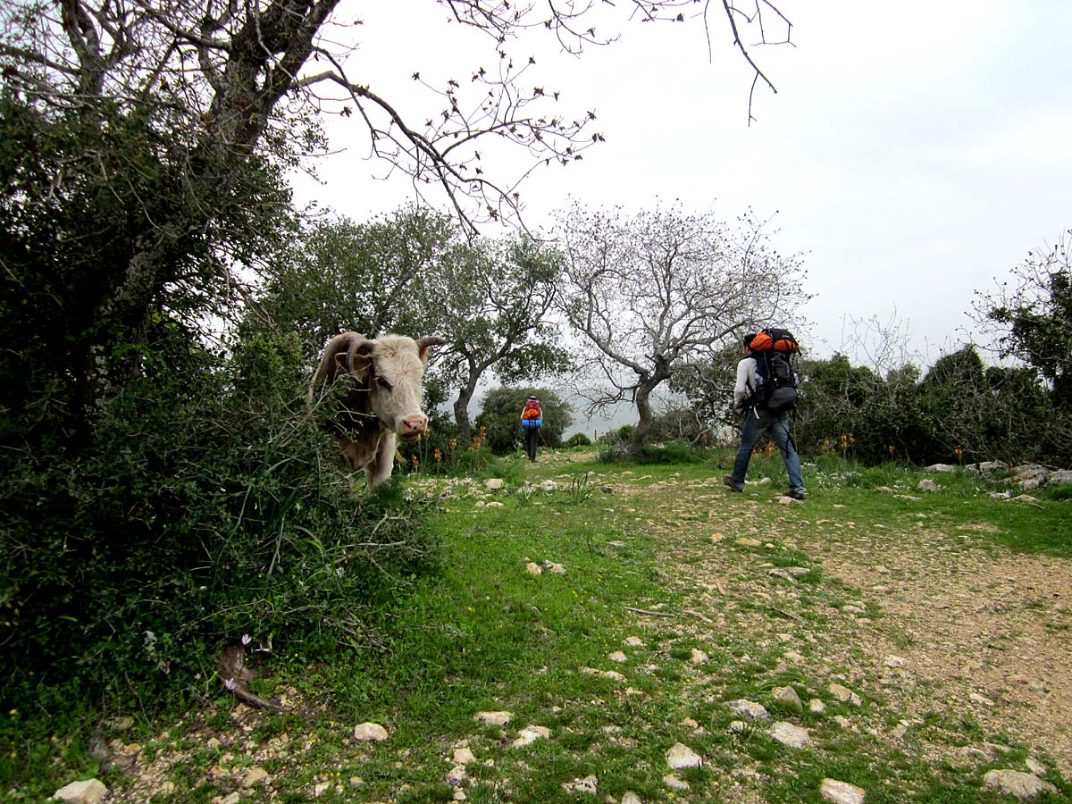
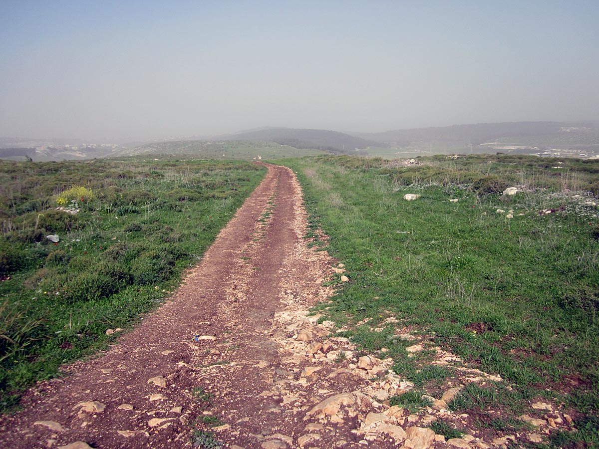
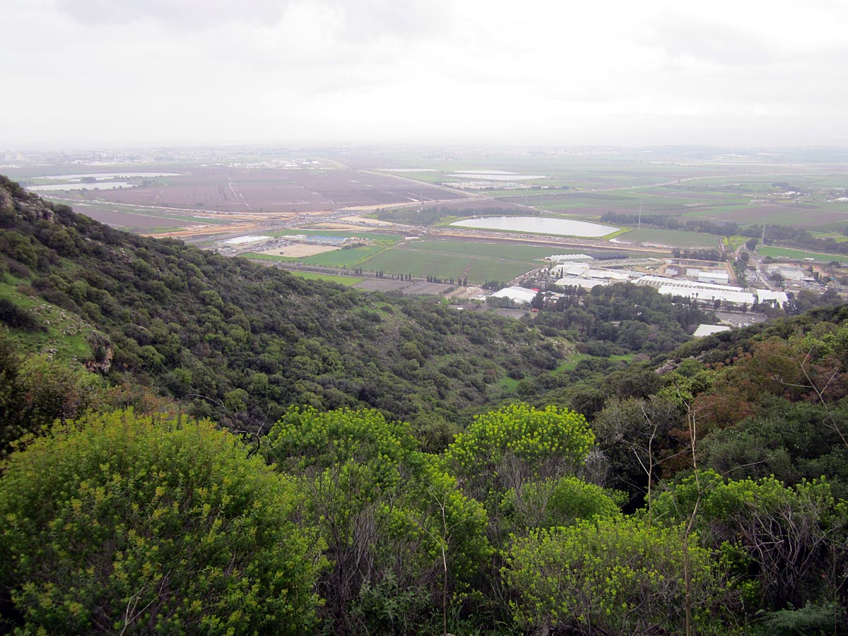
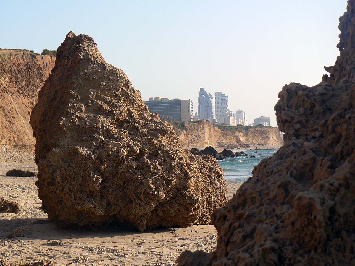
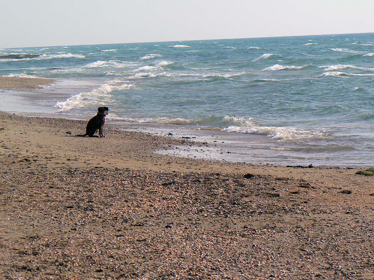
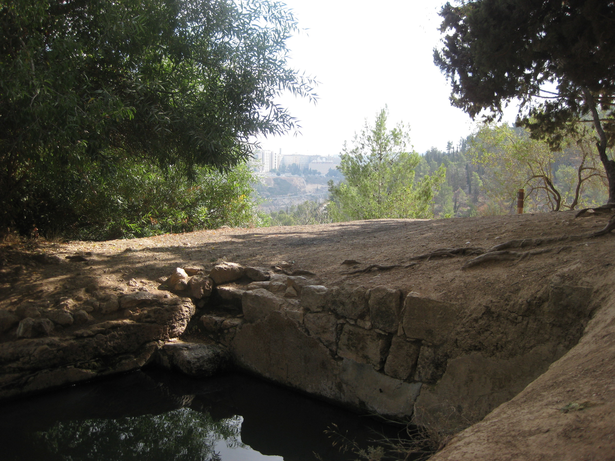
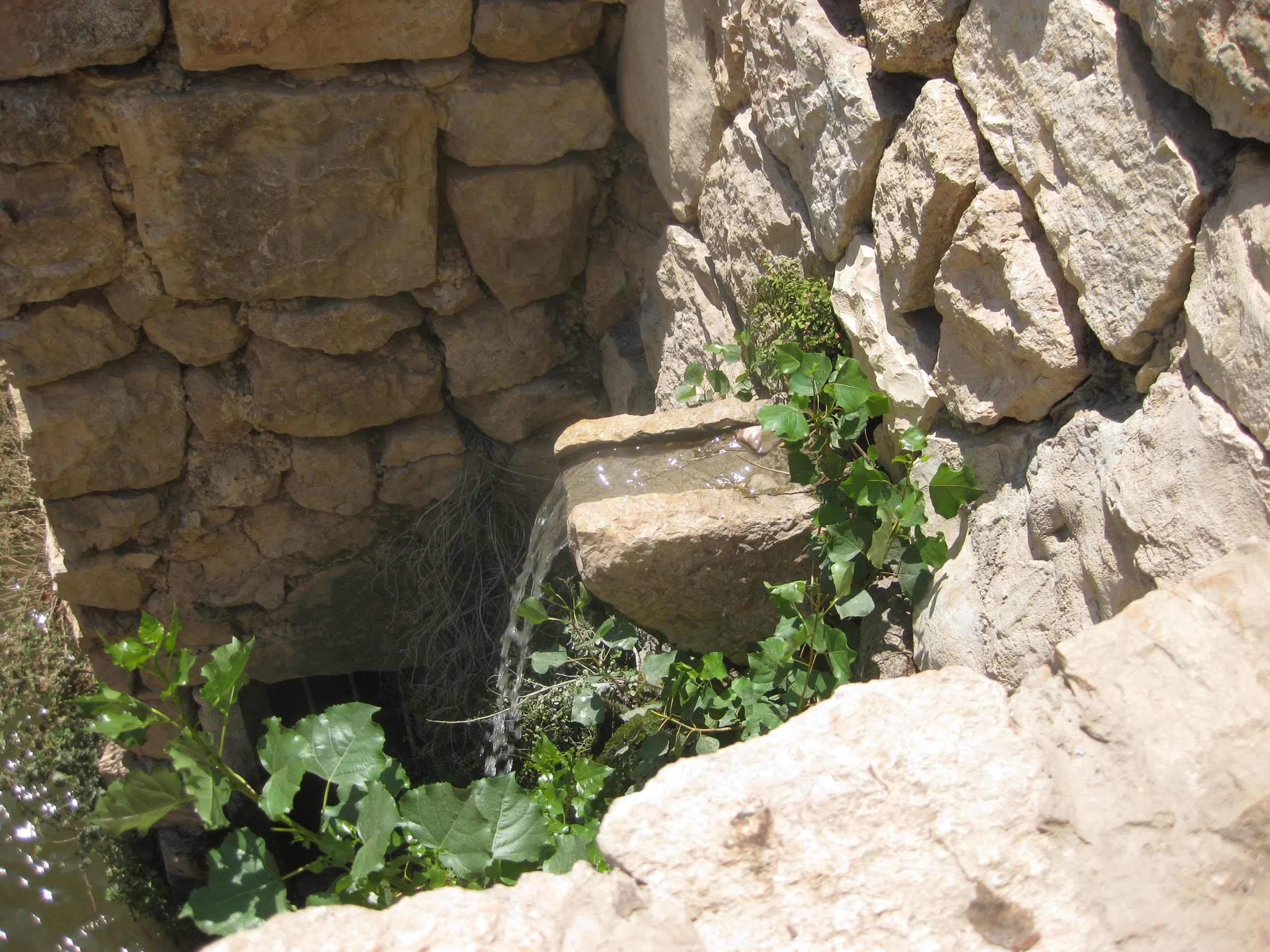
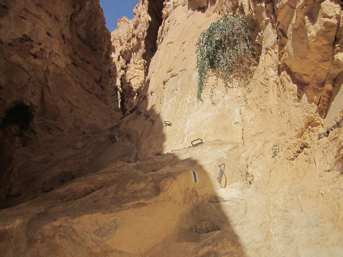
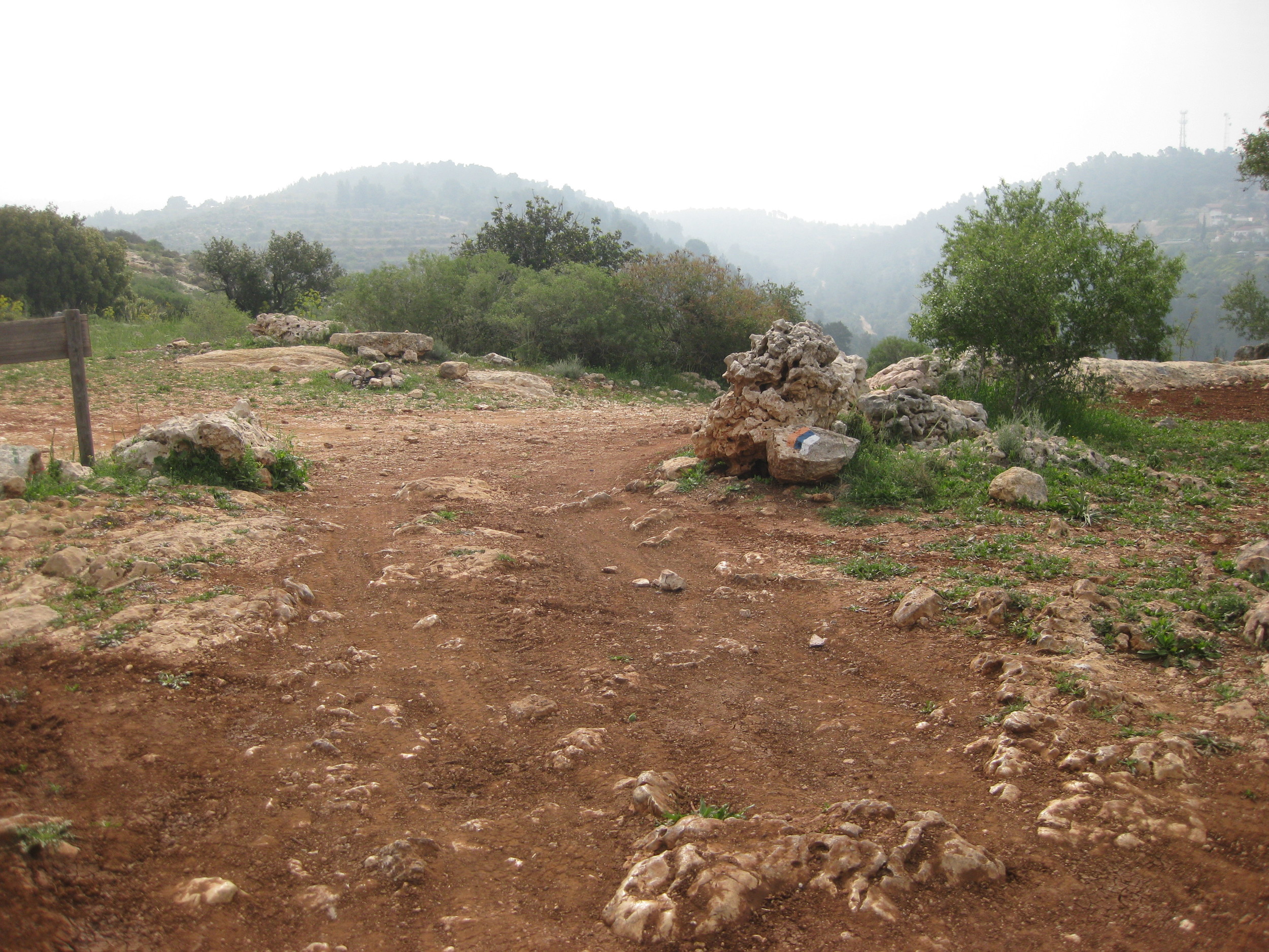
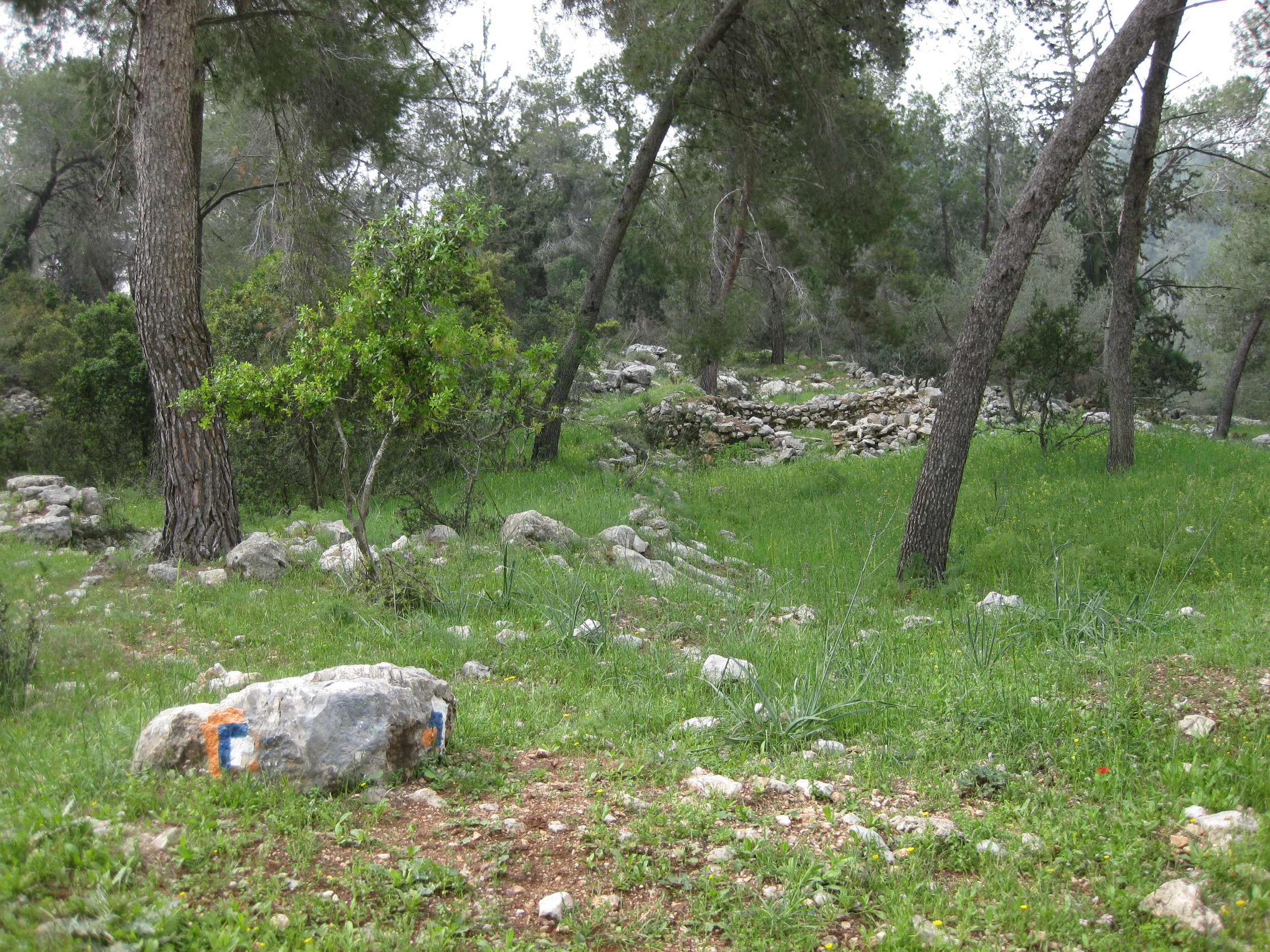
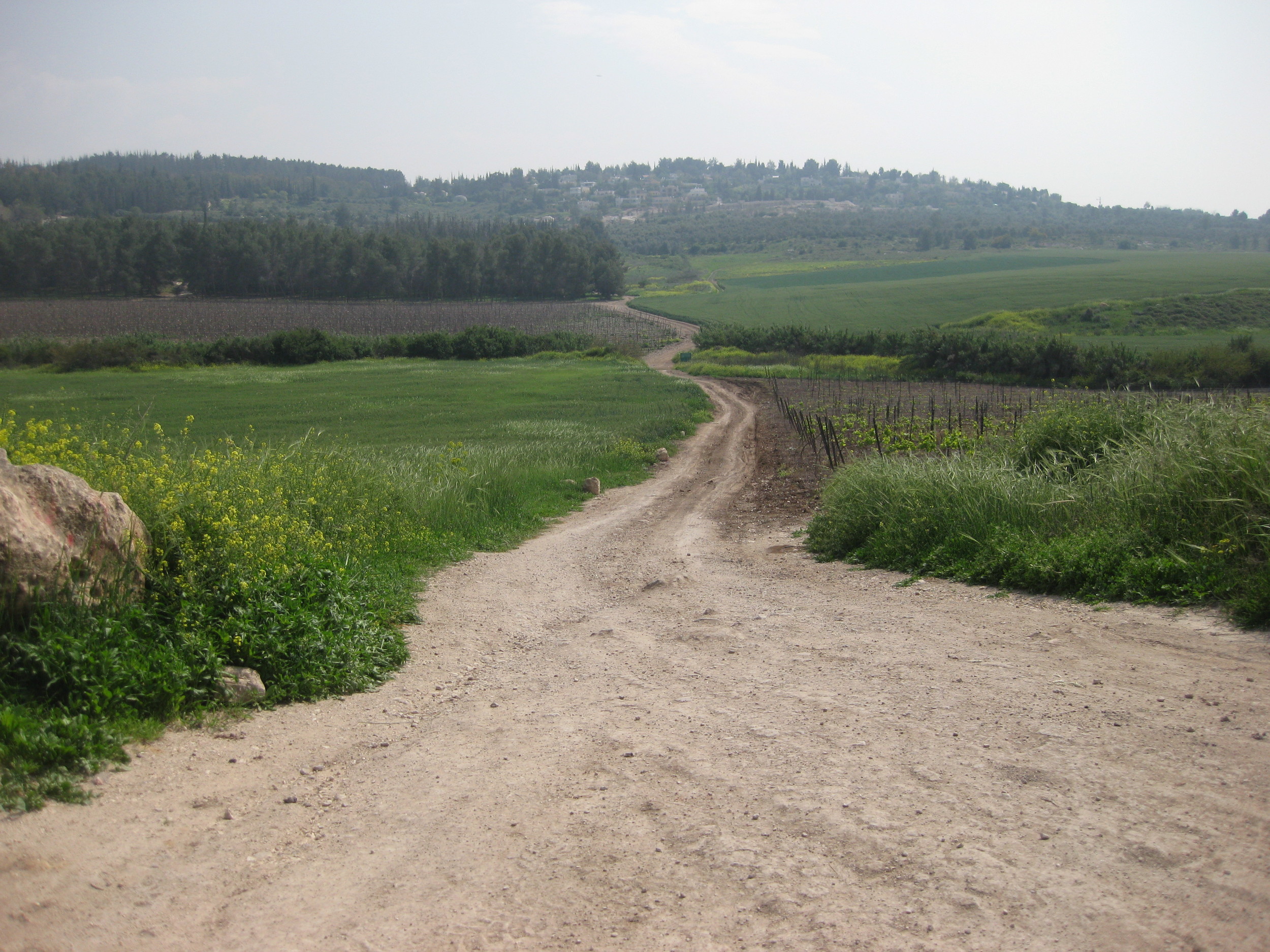
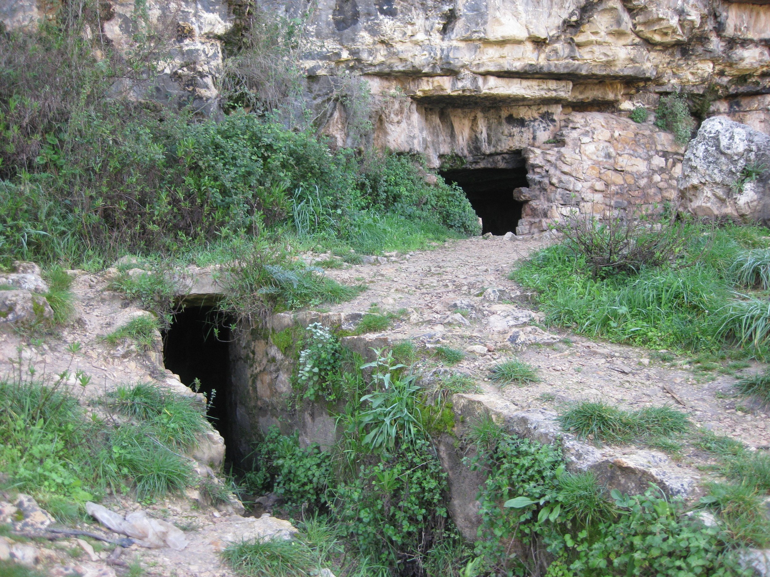
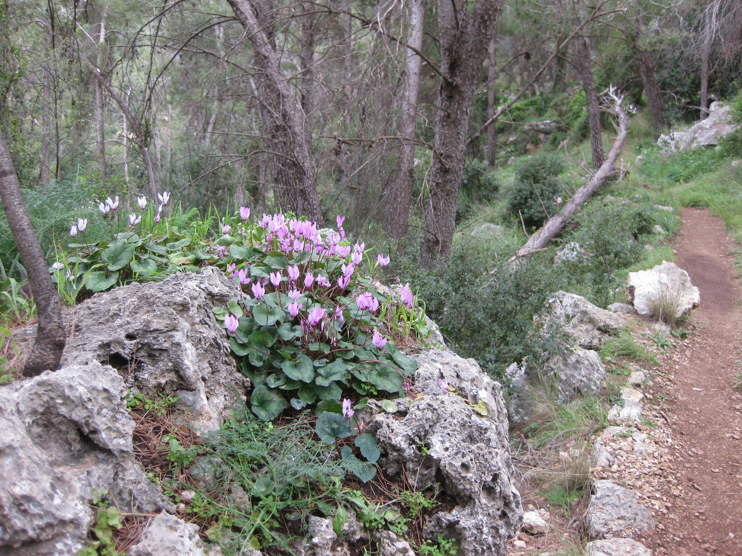
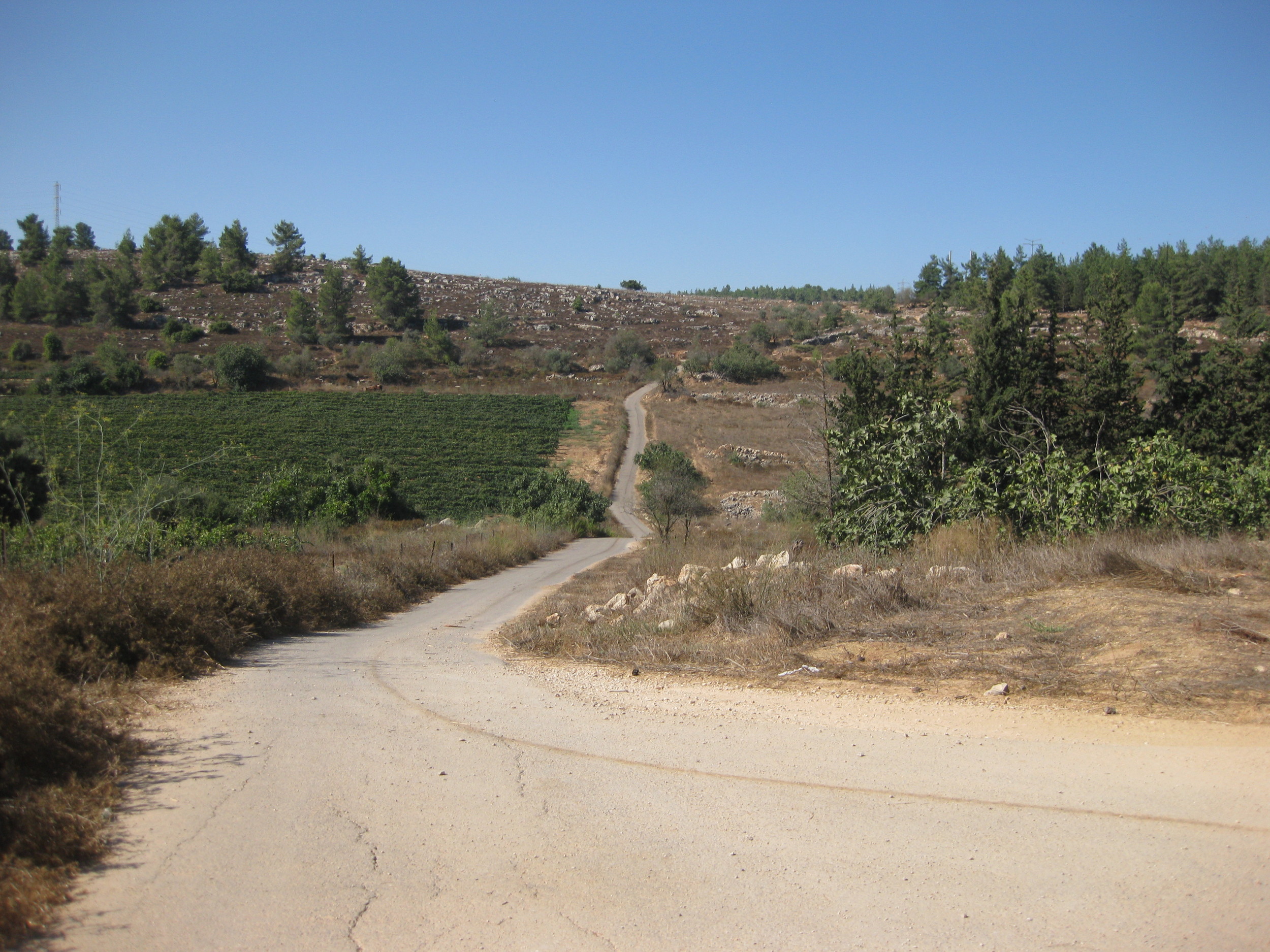
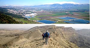
The Israel National Trail runs from the deserts of the south to the green mountain ranges of the north.
This website is non-profit and is run by volunteer contributions. We invite you to contribute information here. Trip reports that we can link to and content that we can include on this site are always welcome.
Unfortunately, we are not in a position to recommend tour guides at this time. Please visit the forum (linked below) if you are looking for guides or advice about your visit.
News
Angels & Tehina: 18 Lessongs from Hiking the Israel Trail, a new book about the experience of hiking on the Israel Trail has recently been published. Author Tzippi Moss describes her 1000-kilometer Israel Trail hike with her husband and 18-year-old son over a two-month period. The goal of the hike was to explore the country and to raise funds to find a cure for the deadly neurological disease ALS. Her book is a collection of life lessons learned from the experience of this amazing journey.


The fourth edition (2020) of “The Red Book”, Jacob Saar’s guide to the INT, has just been published. It is already available at selected book stores in Israel, and on all European Amazon sites – links soon to come. Here is the Amazon link for ordering in the US.
In the UK, you can order the guide with a 20% discount from the bookseller Cordee. Please enter the code INT20 at checkout to receive the discount.
This full and comprehensive guide includes 62 topographical maps (1:50,000) and 8 road maps (1:250,000). It is an ultralight guide, that weighs only 300 grams.
Hike the Land of Israel: Israel National Trail offers a full description of the hike in both northbound and southbound directions, along with day-by-day trail descriptions and tips, together with the hiking profile – distance and height above or below sea level. You will find fascinating information about geology, history, unique botanical information and interesting short side trips.
Added to Trip Reports: Raphael Sacks' trip of his 2016 journey, with many stunning photos.
Keep up with the latest updates to this site by following our Facebook page.